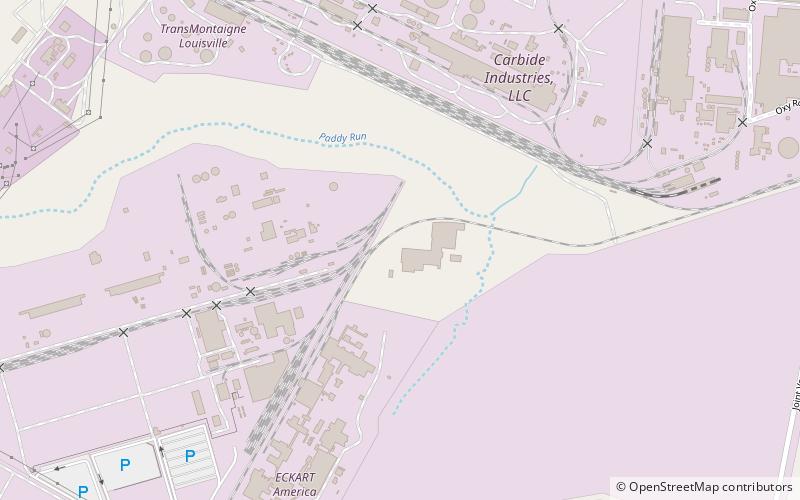
Rubbertown, Louisville
Map
Facts and practical information
Rubbertown is a neighborhood of Louisville, Kentucky, located along the Ohio River. During World War II, it became the home of many industrial plants which remained after the war and led to its name. Its largest businesses include American Synthetic Rubber, Borden Chemical, DuPont Dow Elastomers, Noveon, Dow Chemical, and Zeon Chemicals. ()
Coordinates: 38°13'7"N, 85°50'12"W
Address
Central LouisvilleLouisville
ContactAdd
Social media
Add
Getting there by public transportation
Public transportation stops near this location
- Bus
 Bus
Bus
- Calculate routeBells / 40th 20 min walk
- Calculate route41st / Algonquin 23 min walk
- Calculate route40th / Algonquin 24 min walk
- Calculate routeAlgonquin / 39th 25 min walk
Day trips


Frequently Asked Questions (FAQ)
How to get to Rubbertown by public transport?
The nearest stations to Rubbertown:
Bus
Bus
- Bells / 40th • Lines: 22South (20 min walk)
- 41st / Algonquin • Lines: 22South (23 min walk)