Medical District, Memphis
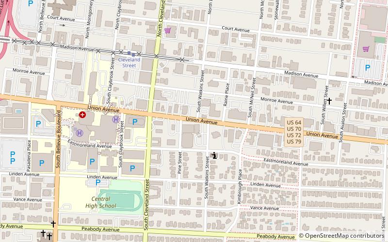
Map
Facts and practical information
The Memphis Medical District is an area which was created to provide a central location for medical care, serving both Memphis and the Mid-South. ()
Coordinates: 35°8'12"N, 90°0'53"W
Address
Midtown (Central Gardens)Memphis
ContactAdd
Social media
Add
Getting there by public transportation
Public transportation stops near this location
- Tram
 Tram
Tram
- Calculate routeCleveland Street 6 min walk
- Calculate routePauline 22 min walk
- Calculate routeDunlap 27 min walk
- Calculate routeStop 37 min walk
Day trips


Frequently Asked Questions (FAQ)
Which popular attractions are close to Medical District?
Nearby attractions include Pinch District, Memphis (1 min walk), Rowland J. Darnell House, Memphis (2 min walk), First Congregational Church and Parish House, Memphis (3 min walk), Robert M. Carrier House, Memphis (16 min walk).
How to get to Medical District by public transport?
The nearest stations to Medical District:
Tram
Tram
- Cleveland Street • Lines: MATA Trolley Madison Avenue Line (6 min walk)
- Pauline • Lines: MATA Trolley Madison Avenue Line (22 min walk)