Hoxie Farm Site, Chicago
Map
Facts and practical information
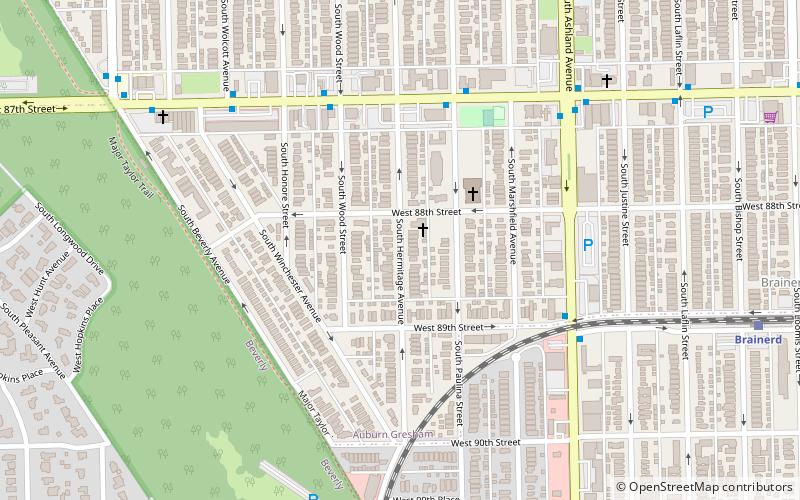
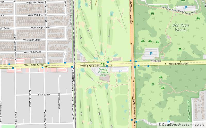
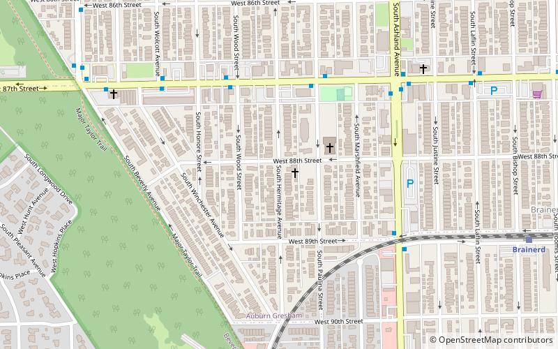
The Hoxie Farm Site is located on Thorn Creek in Thornton, Illinois Cook County Forest Preserve in Cook County, Illinois, near the city of Chicago. It is classified as a late Prehistoric to Protohistoric/Early Historic site with Upper Mississippian Huber affiliation. ()
Coordinates: 41°44'0"N, 87°39'60"W
Address
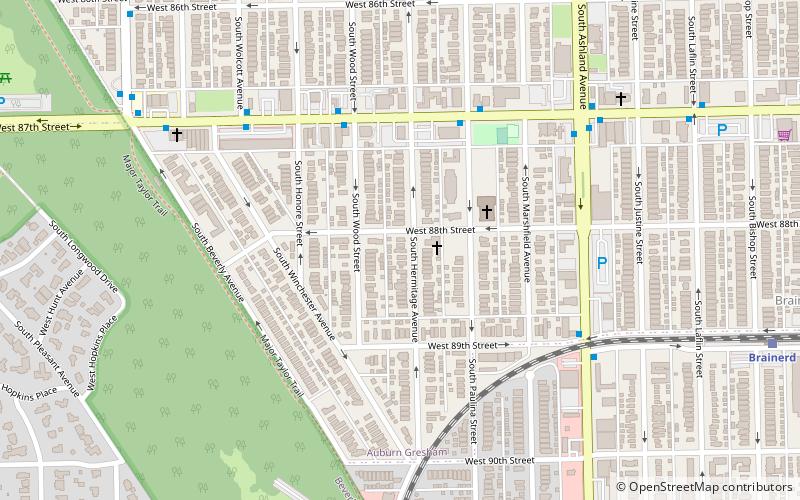
Far Southwest Side (Auburn Gresham)Chicago
ContactAdd
Social media
Add
Getting there by public transportation
Public transportation stops near this location
- Bus
- Train
 Bus
Bus
- Calculate route87th Street & Paulina EB 5 min walk
- Calculate route91st Street 10 min walk
- Calculate routeBrainerd 11 min walk
- Calculate route95th Street 21 min walk
- Calculate routeGresham 30 min walk
Maps Rail "L"
Rail "L"Day trips


Frequently Asked Questions (FAQ)
Which popular attractions are close to Hoxie Farm Site?
Nearby attractions include Anker Site, Chicago (1 min walk), Oak Forest Site, Chicago (1 min walk), Brainerd Bungalow Historic District, Chicago (19 min walk).
How to get to Hoxie Farm Site by public transport?
The nearest stations to Hoxie Farm Site:
Bus
Train
Bus
- 87th Street & Paulina EB • Lines: 87, (N) N87 (5 min walk)
Train
- 91st Street (10 min walk)
- Brainerd (11 min walk)