The Rink at Rockefeller Center, New York City
Map
Facts and practical information
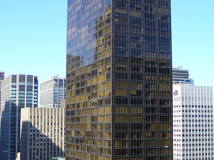
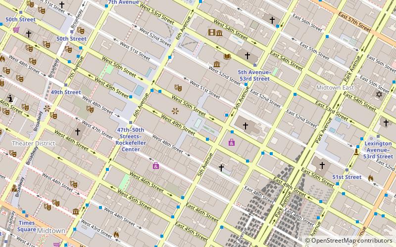
1 Rockefeller Plaza is a 36-story building located on the east side of Rockefeller Plaza between 48th and 49th Streets in Midtown Manhattan, New York City. Completed in 1937, the tower is part of Rockefeller Center, which was built in the Art Deco style. ()
Coordinates: 40°45'31"N, 73°58'42"W
Day trips
The Rink at Rockefeller Center – popular in the area (distance from the attraction)
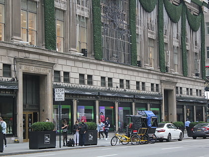
Nearby attractions include: Museum of Modern Art, Rockefeller Center, Saks Fifth Avenue, Radio City Music Hall.
Frequently Asked Questions (FAQ)
Which popular attractions are close to The Rink at Rockefeller Center?
Nearby attractions include Rockefeller Center Christmas Tree, New York City (1 min walk), Atlas Statue, New York City (2 min walk), International Building, New York City (2 min walk), Radio City Music Hall, New York City (3 min walk).
How to get to The Rink at Rockefeller Center by public transport?
The nearest stations to The Rink at Rockefeller Center:
Bus
Metro
Train
Bus
- East 49th Street/5th Avenue • Lines: M50 (2 min walk)
- East 50th Street/5th Avenue • Lines: M50 (3 min walk)
Metro
- 47th–50th Streets–Rockefeller Center • Lines: <F>, B, D, F, M (4 min walk)
- 53rd Street–5th Avenue • Lines: E, M (6 min walk)
Train
- Grand Central Terminal (11 min walk)
- New York Penn Station (25 min walk)
 Subway
 Manhattan Buses
