Julietta, Indianapolis

Map
Facts and practical information
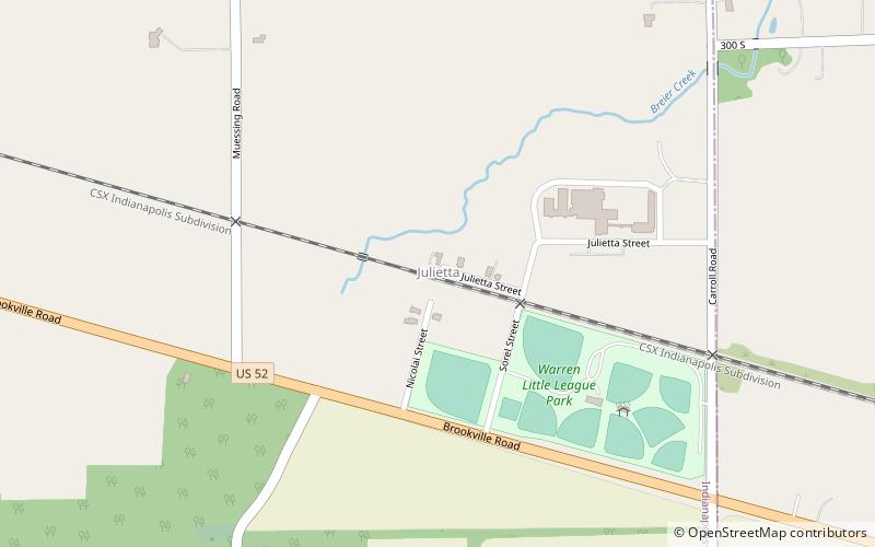
Julietta, Indiana is a small neighborhood in Indianapolis. It is located in eastern Marion County, on the border of Hancock County. Julietta is situated 11 miles east of downtown Indianapolis and 3.5 miles west of New Palestine, Indiana. The neighborhood is adjacent to U.S. Route 52. ()
Coordinates: 39°44'15"N, 85°57'26"W
Address
Southeast WarrenIndianapolis
ContactAdd
Social media
Add
Day trips
Julietta – popular in the area (distance from the attraction)
Nearby attractions include: Washington Square Mall, Dakota Landing Golf Course, Big Run Church, The Bat Cave.


