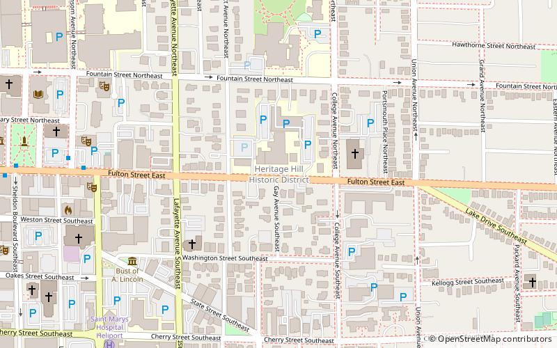
Heritage Hill Historic District, Grand Rapids
Map

Map

Facts and practical information
Heritage Hill is a residential neighborhood in Grand Rapids, Michigan. It is listed on the National Register of Historic Places and is one of the largest urban historic districts in the United States. It is bounded by Crescent Street, Union Avenue, Pleasant Street, and Lafayette Avenue. Heritage Hill was designated by the American Planning Association as one of 2012's Great Places in America. ()
Coordinates: 42°57'47"N, 85°39'31"W
Address
Heritage HillGrand Rapids
ContactAdd
Social media
Add
Day trips
Heritage Hill Historic District – popular in the area (distance from the attraction)
Nearby attractions include: Grand Rapids Art Museum, Van Andel Arena, Cathedral of Saint Andrew, Fountain Street Church.
Frequently Asked Questions (FAQ)
Which popular attractions are close to Heritage Hill Historic District?
Nearby attractions include Abram W. Pike House, Grand Rapids (7 min walk), Dog Story Theatre, Grand Rapids (8 min walk), Willard Building, Grand Rapids (8 min walk), St. Cecilia Music Center, Grand Rapids (8 min walk).
How to get to Heritage Hill Historic District by public transport?
The nearest stations to Heritage Hill Historic District:
Bus
Train
Bus
- Fulton Street • Lines: 90 (9 min walk)
- Mercy Health • Lines: 90 (12 min walk)
Train
- Grand Rapids (23 min walk)


