Old Fort Bliss, El Paso
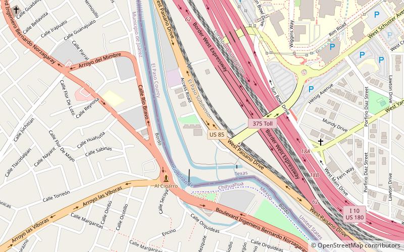
Map

Map

Facts and practical information
Old Fort Bliss are a pair of two-story adobe buildings in El Paso, Texas. They were built in the 1850s, and designed in the Victorian architectural style. They were army barracks and later remodelled into apartment buildings. The structure has been listed on the National Register of Historic Places since February 23, 1972. In 2017, the structure was endangered. ()
Coordinates: 31°45'47"N, 106°30'33"W
Address
Central El PasoEl Paso
ContactAdd
Social media
Add
Day trips
Old Fort Bliss – popular in the area (distance from the attraction)
Nearby attractions include: Southwest University Park, Centennial Museum and Chihuahuan Desert Gardens, Sun Bowl Stadium, Don Haskins Center.
Frequently Asked Questions (FAQ)
Which popular attractions are close to Old Fort Bliss?
Nearby attractions include Centennial Museum and Chihuahuan Desert Gardens, El Paso (12 min walk), University of Texas at El Paso, El Paso (15 min walk), Stanlee and Gerald Rubin Center for the Visual Arts, El Paso (16 min walk), Sunset Heights, El Paso (17 min walk).
How to get to Old Fort Bliss by public transport?
The nearest stations to Old Fort Bliss:
Tram
Bus
Train
Tram
- Schuster • Lines: El Paso Streetcar (21 min walk)
- Hague • Lines: El Paso Streetcar (21 min walk)
Bus
- Hague • Lines: Mesa Brio (21 min walk)
- Rio Grande • Lines: Mesa Brio (25 min walk)
Train
- El Paso (23 min walk)


