Burley Park, Lexington

Map
Facts and practical information
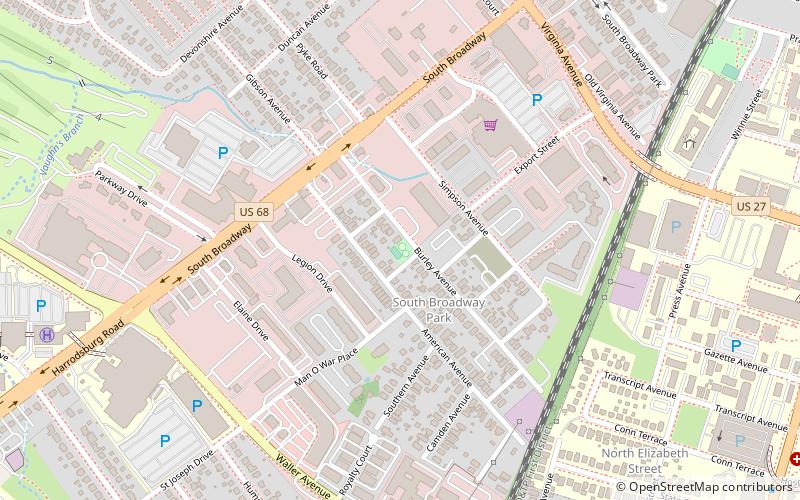
Burley Park is a neighborhood in southwestern Lexington, Kentucky, United States. It is named for the large number of tobacco warehouses that were once located in the neighborhood. Its boundaries are Waller Avenue and Mason Headley Road to the south, east of Beacon Hill Drive/ Summerville Drive/ Addison Park to the west, Red Mile Road and Virginia Avenue to the north, and RJ Corman railroad tracks to the east. The smaller Golf View Estates neighborhood is typically included in Burley Park. ()
Coordinates: 38°2'5"N, 84°31'4"W
Address
Lexington
ContactAdd
Social media
Add
Day trips
Burley Park – popular in the area (distance from the attraction)
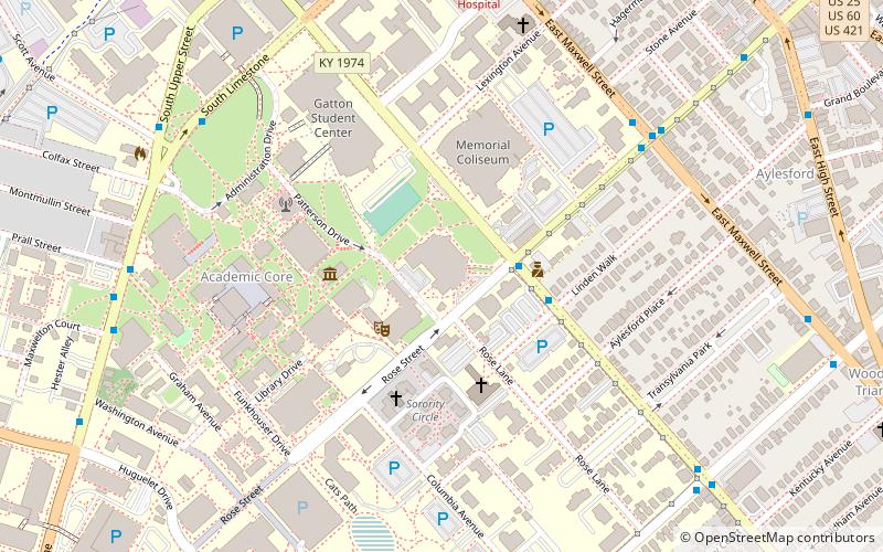
Nearby attractions include: The Red Mile, Memorial Coliseum, Cliff Hagan Stadium, University of Kentucky Arboretum.
Frequently Asked Questions (FAQ)
Which popular attractions are close to Burley Park?
Nearby attractions include South Broadway Park, Lexington (10 min walk), North Elizabeth Street, Lexington (10 min walk), Golf View Estates, Lexington (11 min walk), Lexington Parks and Recreation Center, Lexington (11 min walk).
How to get to Burley Park by public transport?
The nearest stations to Burley Park:
Bus
Bus
- 1366 - Nicholasville @ Forest Park Outbound • Lines: 16 Southland Dr, 5, 5 Nicholasville Road (16 min walk)
- 1624 Cooper @ Science Building Inbound • Lines: 16 Southland Dr (17 min walk)


