Montana Avenue Historic District, El Paso
Map

Map

Facts and practical information
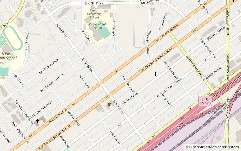
The Montana Avenue Historic District in El Paso, Texas is a historic district which was listed on the National Register of Historic Places in 2004. It includes area of 26 acres, in the 1000 through 1500 blocks of Montana Avenue. It included 69 contributing buildings: 51 houses, two churches, and 13 garages, as well as non-contributing buildings. ()
Coordinates: 31°46'21"N, 106°28'52"W
Address
Central El Paso (Golden Hill)El Paso
ContactAdd
Social media
Add
Day trips
Montana Avenue Historic District – popular in the area (distance from the attraction)
Nearby attractions include: Southwest University Park, Cathedral Parish of Saint Patrick, International Museum of Art, El Paso Museum of Art.
Frequently Asked Questions (FAQ)
Which popular attractions are close to Montana Avenue Historic District?
Nearby attractions include International Museum of Art, El Paso (4 min walk), Magoffin Homestead, El Paso (19 min walk), Woman's Club of El Paso, El Paso (22 min walk), Cathedral Parish of Saint Patrick, El Paso (22 min walk).
How to get to Montana Avenue Historic District by public transport?
The nearest stations to Montana Avenue Historic District:
Bus
Tram
Train
Bus
- 34 • Lines: 34 (15 min walk)
- Rio Grande • Lines: Mesa Brio (24 min walk)
Tram
- Arizona • Lines: El Paso Streetcar (21 min walk)
- Montana • Lines: El Paso Streetcar (21 min walk)
Train
- El Paso (35 min walk)


