Stratford Center Historic District, Stratford
Map

Map

Facts and practical information
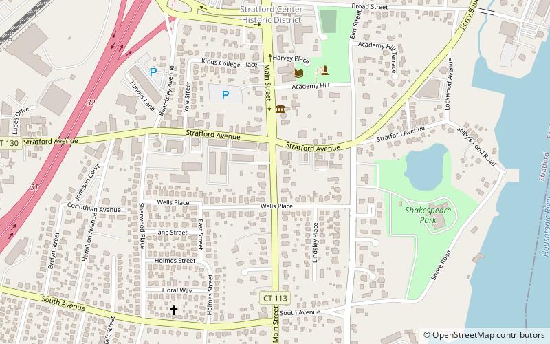
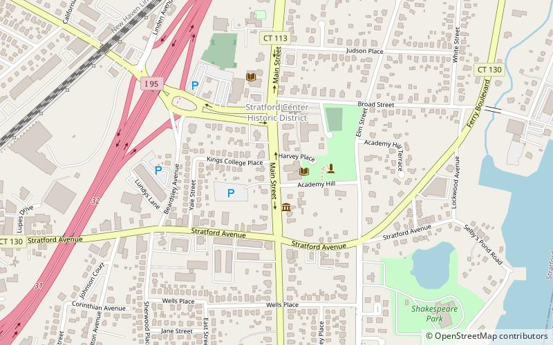
The Stratford Center Historic District is a 220-acre historic district in Stratford, Connecticut. The district was listed on the National Register of Historic Places in 1983. It then included 257 contributing buildings. ()
Coordinates: 41°11'10"N, 73°7'49"W
Address
South EndStratford
ContactAdd
Social media
Add
Day trips
Stratford Center Historic District – popular in the area (distance from the attraction)
Nearby attractions include: Washington Bridge, Captain David Judson House, Connecticut Air & Space Center, Holy Name of Jesus Church.
Frequently Asked Questions (FAQ)
Which popular attractions are close to Stratford Center Historic District?
Nearby attractions include Captain David Judson House, Stratford (4 min walk), St. James Church, Stratford (5 min walk), The Historic William Perry House, Stratford (8 min walk), Sterling House, Stratford (11 min walk).
How to get to Stratford Center Historic District by public transport?
The nearest stations to Stratford Center Historic District:
Train
Train
- Stratford (16 min walk)


