Jugtown Historic District, Princeton
Map

Map

Facts and practical information
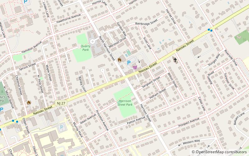
The Jugtown Historic District consists of a cluster of historic buildings surrounding the intersection of Harrison and Nassau Street in Princeton, New Jersey. The settlement dates to colonial times and is sometimes known as Queenston. It was home to the short-lived Evelyn College for Women from 1887–1897. ()
Coordinates: 40°21'14"N, 74°38'44"W
Address
PrincetonPrinceton
ContactAdd
Social media
Add
Day trips
Jugtown Historic District – popular in the area (distance from the attraction)
Nearby attractions include: Princeton University Chapel, Princeton Shopping Center, McCarter Theatre, Princeton Garden Theatre.
Frequently Asked Questions (FAQ)
Which popular attractions are close to Jugtown Historic District?
Nearby attractions include Quadrangle Club, Princeton (10 min walk), Princeton University School of Engineering and Applied Science, Princeton (10 min walk), Westminster Choir College, Princeton (11 min walk), Seeley G. Mudd Manuscript Library, Princeton (12 min walk).
How to get to Jugtown Historic District by public transport?
The nearest stations to Jugtown Historic District:
Train
Train
- Princeton (28 min walk)


