Woodland Heights, Houston
Map

Gallery

Facts and practical information
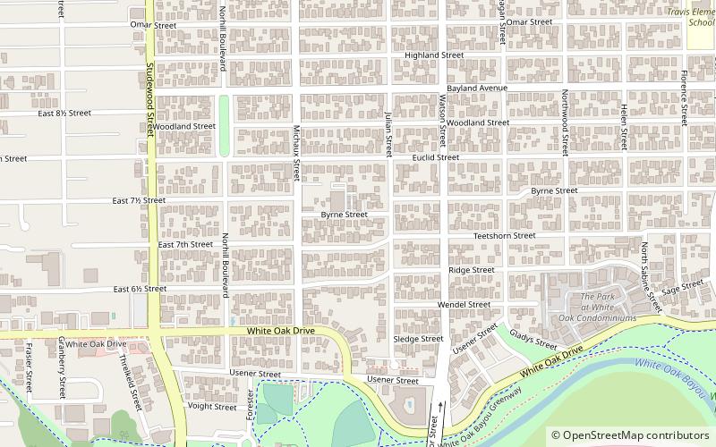
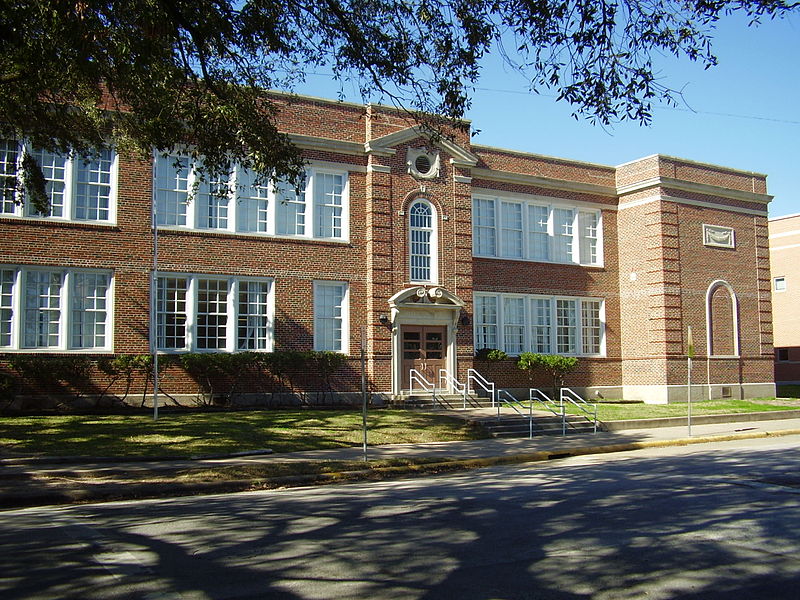
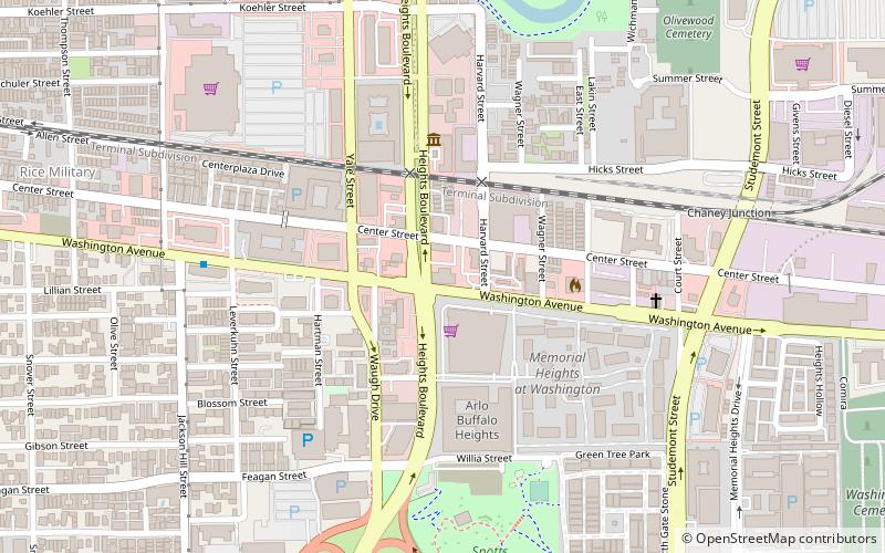
The Woodland Heights neighborhood is one of the oldest and most historic in Houston, Texas. It encompasses approximately 2000 homes in the 77009 ZIP code and is bounded on the north by Pecore Street, on the west by Studewood Street, on the east by I-45, and on the south by I-10. ()
Coordinates: 29°47'2"N, 95°22'58"W
Address
Inner Loop (Greater Heights)Houston
ContactAdd
Social media
Add
Day trips
Woodland Heights – popular in the area (distance from the attraction)
Nearby attractions include: Rockefeller's, Art Car Museum, Olivewood Cemetery, All Saints Catholic Church.
Frequently Asked Questions (FAQ)
Which popular attractions are close to Woodland Heights?
Nearby attractions include Norhill, Houston (11 min walk), All Saints Catholic Church, Houston (22 min walk), Olivewood Cemetery, Houston (23 min walk).
How to get to Woodland Heights by public transport?
The nearest stations to Woodland Heights:
Light rail
Train
Light rail
- Quitman/Near Northside • Lines: Red (30 min walk)
- Moody Park • Lines: Red (33 min walk)
Train
- Houston (38 min walk)


