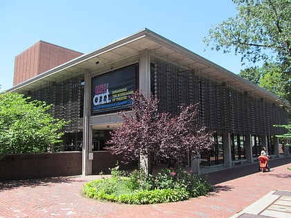
West Cambridge, Belmont
Map
Map

Facts and practical information
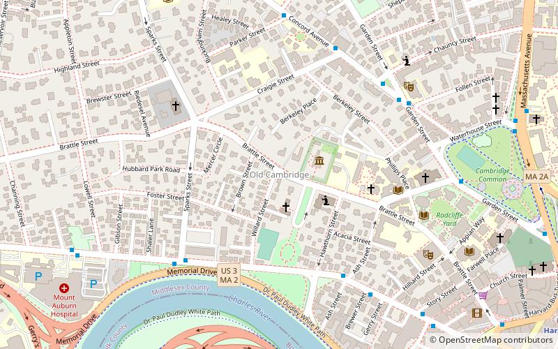
West Cambridge, also known as "Area 10", is a neighborhood in Cambridge, Massachusetts. It is bounded by the Charles River on the south, JFK Street on the east, Concord Avenue on the north, and Fresh Pond, Aberdeen Avenue, and the Watertown line on the west. ()
Coordinates: 42°22'36"N, 71°7'39"W
Address
Cambridge (West Cambridge)Belmont
ContactAdd
Social media
Add
Day trips
West Cambridge – popular in the area (distance from the attraction)
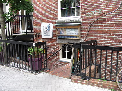
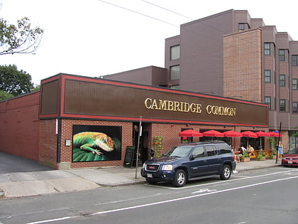
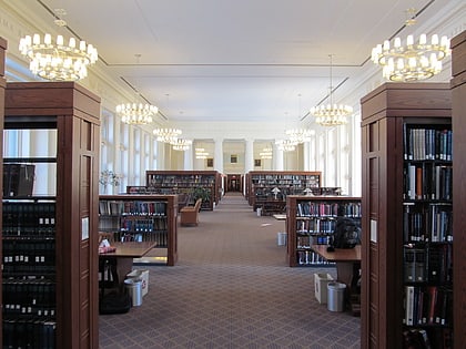
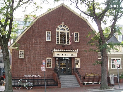
Nearby attractions include: Club Passim, Lizard Lounge, The Harvard Coop, Brattle Theatre.
Frequently Asked Questions (FAQ)
Which popular attractions are close to West Cambridge?
Nearby attractions include Oliver Hastings House, Belmont (2 min walk), Longfellow House–Washington's Headquarters National Historic Site, Boston (2 min walk), Berkeley Street Historic District, Belmont (4 min walk), Mary Fiske Stoughton House, Belmont (4 min walk).
How to get to West Cambridge by public transport?
The nearest stations to West Cambridge:
Metro
Bus
Train
Metro
- Harvard • Lines: Red (13 min walk)
- Porter • Lines: Red (24 min walk)
Bus
- Harvard Square (13 min walk)
- Massachusetts Ave @ Holyoke St • Lines: 1, 69 (15 min walk)
Train
- Porter (24 min walk)

