Munger Place Historic District, Dallas
Map
Gallery
Facts and practical information
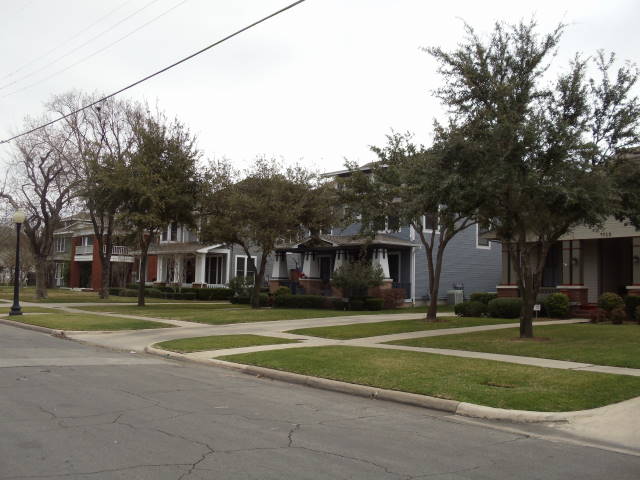
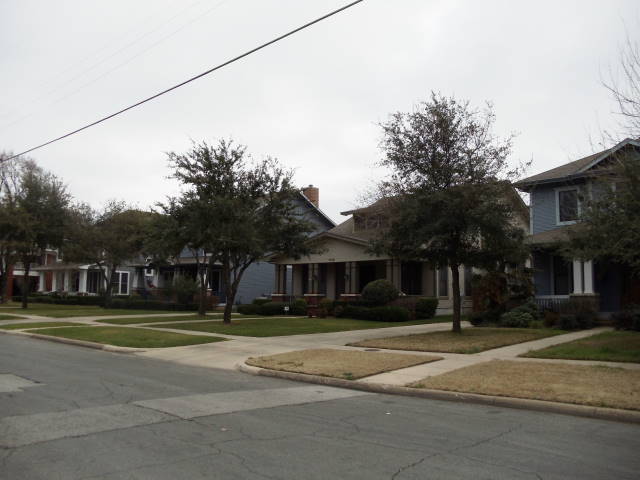
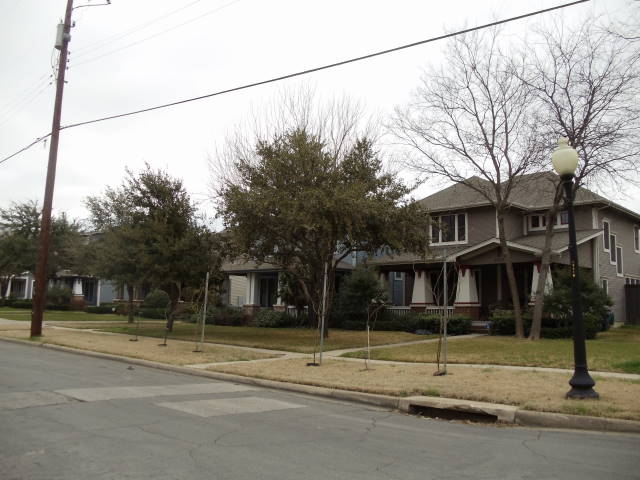
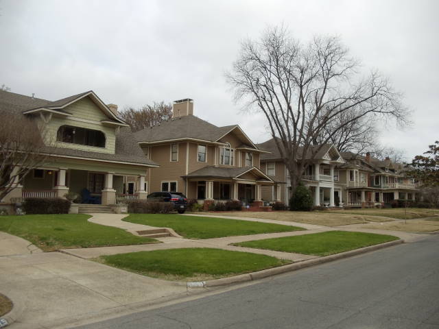
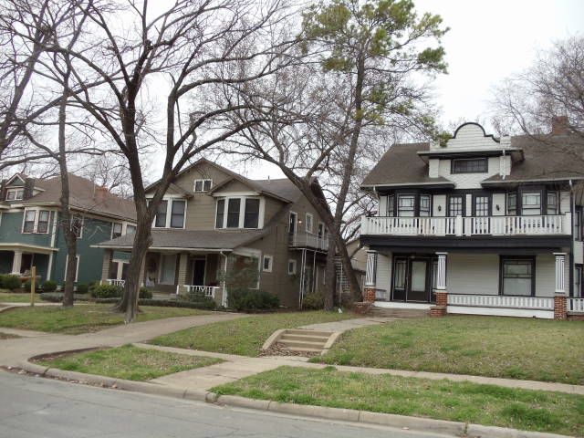
The Munger Place Historic District is a neighborhood and historic district in Old East Dallas, Texas, generally lying between North Fitzhugh Avenue on the southwest, Gaston Avenue on the northwest, Henderson Avenue on the northeast, and Columbia Avenue on the southeast. Detailed boundaries are defined in the Munger Place Ordinance. It is a Dallas Landmark District and listed on the National Register of Historic Places. ()
Coordinates: 32°47'58"N, 96°45'51"W
Address
East Dallas (Old East Dallas)Dallas
ContactAdd
Social media
Add
Day trips
Munger Place Historic District – popular in the area (distance from the attraction)
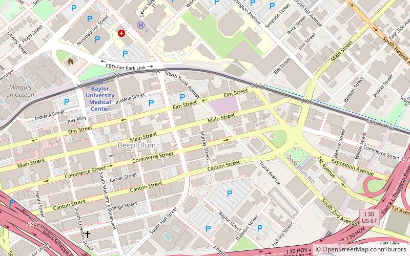
Nearby attractions include: The Bomb Factory, Deep Ellum, Fair Park, The Women's Museum.
Frequently Asked Questions (FAQ)
Which popular attractions are close to Munger Place Historic District?
Nearby attractions include Swiss Avenue Historic District, Dallas (14 min walk), Grace United Methodist Church, Dallas (21 min walk), Cathedral Church of Saint Matthew, Dallas (21 min walk), Central Congregational Church, Dallas (22 min walk).
How to get to Munger Place Historic District by public transport?
The nearest stations to Munger Place Historic District:
Light rail
Light rail
- Baylor University Medical Center • Lines: Blue, Green, Orange, Red (35 min walk)


