Nolands Ferry

Map
Facts and practical information
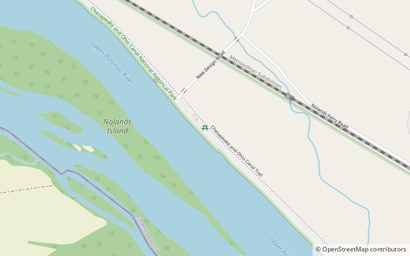
Nolands Ferry I Archeological Site is an archaeological site near the historic Noland's Ferry boat landing at mile 44.58 on the C&O Canal and Tuscarora. The Archeological Site is a prehistoric occupation site located in the Monocacy region of southern Frederick County, Maryland. Diagnostic artifacts at the site indicate that the site was almost continuously inhabited from the Paleo-Indian period to the early 19th century, with the most substantial inhabitation occurring during the Late Woodland period. ()
Coordinates: 39°14'56"N, 77°28'54"W
Location
Maryland
ContactAdd
Social media
Add
Day trips
Nolands Ferry – popular in the area (distance from the attraction)
Nearby attractions include: Monocacy Aqueduct, Lucketts School, Temple Hall, Dickerson Whitewater Course.


