Bradford–Union Street Historic District, Plymouth
Map

Map

Facts and practical information
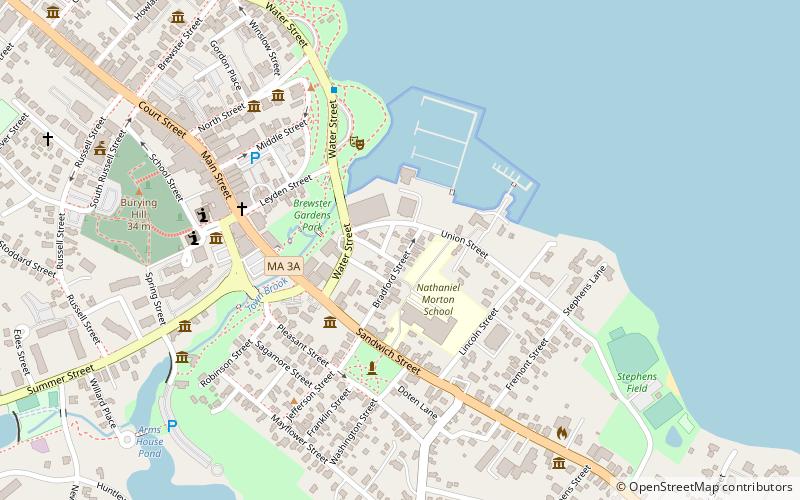
The Bradford–Union Street Historic District encompasses a waterfront residential area of Plymouth, Massachusetts, developed in the mid-19th for workers in local maritime and other industries. It is centered at the junction of Bradford and Union Streets, across Town Brook from downtown Plymouth. The district was added to the National Register of Historic Places in 1983. ()
Coordinates: 41°57'19"N, 70°39'38"W
Address
Plymouth CenterPlymouth
ContactAdd
Social media
Add
Day trips
Bradford–Union Street Historic District – popular in the area (distance from the attraction)
Nearby attractions include: Cole's Hill, Pilgrim Hall Museum, National Monument to the Forefathers, Massasoit Statue.
Frequently Asked Questions (FAQ)
Which popular attractions are close to Bradford–Union Street Historic District?
Nearby attractions include Brewster Gardens, Plymouth (3 min walk), Pilgrim Memorial State Park, Plymouth (4 min walk), Jabez Howland House, Plymouth (4 min walk), Leyden Street, Plymouth (5 min walk).


