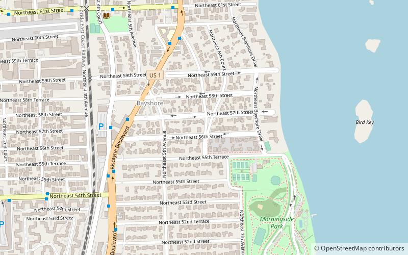
Bay Shore Historic District, Miami
Map

Map

Facts and practical information
Coordinates: 25°49'41"N, 80°10'59"W
Address
Upper EastsideMiami
ContactAdd
Social media
Add
Day trips
Bay Shore Historic District – popular in the area (distance from the attraction)
Nearby attractions include: Locust Projects, De la Cruz Collection, Markowicz Fine Art, Cathedral of Saint Mary.
Frequently Asked Questions (FAQ)
Which popular attractions are close to Bay Shore Historic District?
Nearby attractions include Lemon City Branch Library, Miami (10 min walk), Little Haiti, Miami (14 min walk), Brickell Key, Miami (14 min walk).
How to get to Bay Shore Historic District by public transport?
The nearest stations to Bay Shore Historic District:
Bus
Bus
- Biscayne Boulevard & Northeast 57th Street • Lines: 16, 3, 54 (6 min walk)
- Biscayne Boulevard & Northeast 60th Street • Lines: 16, 3 (7 min walk)


