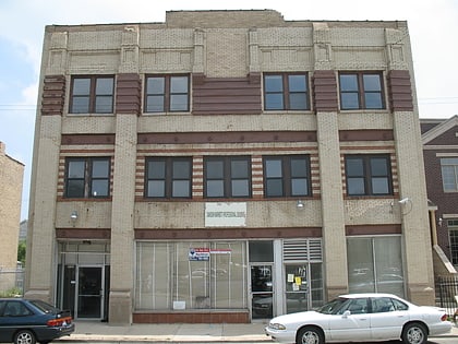
Grand Boulevard, Chicago
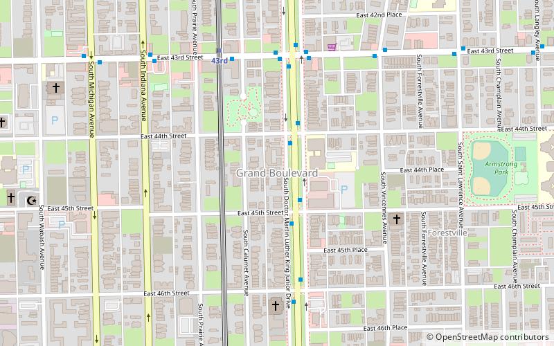
Map
Map

Facts and practical information
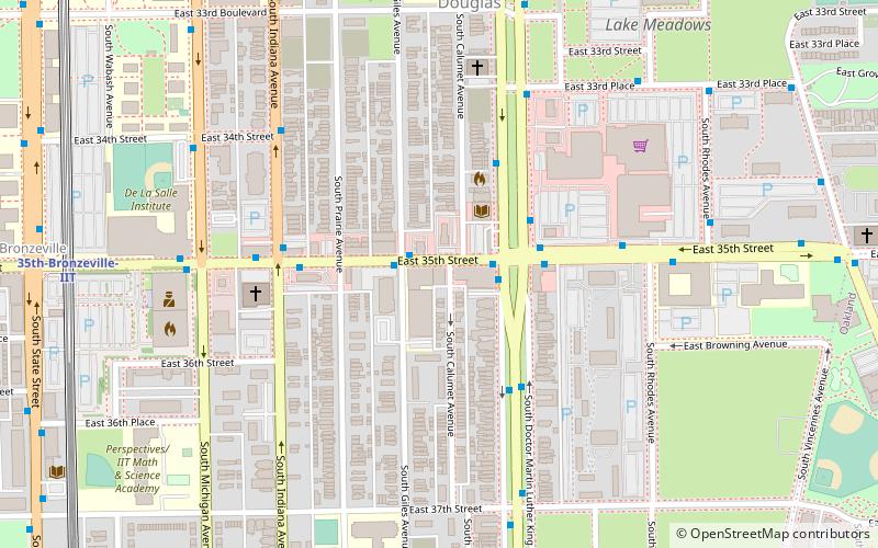
Grand Boulevard, located on the South Side of Chicago, Illinois, is one of the well-defined Chicago Community Areas. The boulevard from which the community area takes its name now bears the name of Martin Luther King Jr. Drive. The area is bounded by 39th to the north, 51st Street to the south, Cottage Grove Avenue to the east, and the Chicago, Rock Island & Pacific Railroad tracks to the west. ()
Area: 1.73 mi²Coordinates: 41°48'50"N, 87°37'2"W
Address
South Side (Grand Boulevard)Chicago
ContactAdd
Social media
Add
Day trips
Grand Boulevard – popular in the area (distance from the attraction)
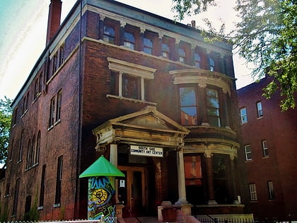
Nearby attractions include: Guaranteed Rate Field, Sunset Cafe, South Side Community Art Center, Victory Monument.
Frequently Asked Questions (FAQ)
Which popular attractions are close to Grand Boulevard?
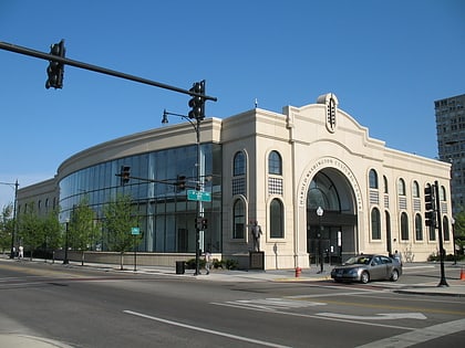
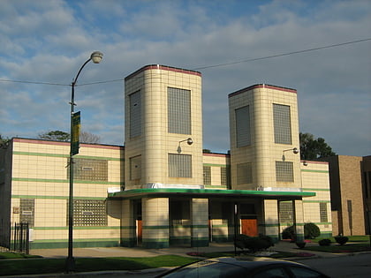
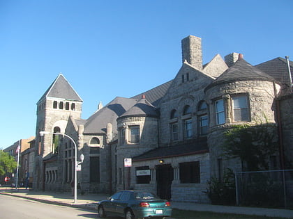
Nearby attractions include Eighth Church of Christ, Chicago (8 min walk), Swift House, Chicago (9 min walk), Harold Washington Cultural Center, Chicago (9 min walk), First Church of Deliverance, Chicago (10 min walk).
How to get to Grand Boulevard by public transport?
The nearest stations to Grand Boulevard:
Bus
Metro
Bus
- King Drive & 44th Street • Lines: 3 (2 min walk)
- 43rd Street & King Drive • Lines: 43 (5 min walk)
Metro
- 43rd • Lines: Green (6 min walk)
- 47th • Lines: Green, Red (19 min walk)
 Rail "L"
