Automobile Alley, Oklahoma City

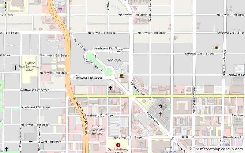
Map
Facts and practical information
The Automobile Alley neighborhood and Automobile Alley Historic District in Oklahoma City is an upscale Urban area, located roughly along North Broadway Avenue in Downtown Oklahoma City. The district contains numerous low and mid-rise heritage buildings once home to the city's automobile dealerships, that today hosts many of the city's top bars and restaurants, retail shops, and urban residences alongside modern construction consisting mostly of residential housing and hotels. Automobile Alley is listed in the National Historic Register of neighborhoods. ()
Coordinates: 35°28'41"N, 97°30'58"W
Address
Central Oklahoma City (Downtown Oklahoma City)Oklahoma City
ContactAdd
Social media
Add
Getting there by public transportation
Public transportation stops near this location
- Bus
- Tram
- Train
 Bus
Bus
- Calculate routeNorthwest 10th Street 1 min walk
- Calculate routeArt Park 5 min walk
- Calculate routeAutomobile Alley 5 min walk
- Calculate routeMidtown 5 min walk
- Calculate routeThe Central Oklahoma Transportation and Parking Authority City Bus Terminal 12 min walk
- Calculate routeOklahoma City 23 min walk
Day trips


Frequently Asked Questions (FAQ)
Which popular attractions are close to Automobile Alley?
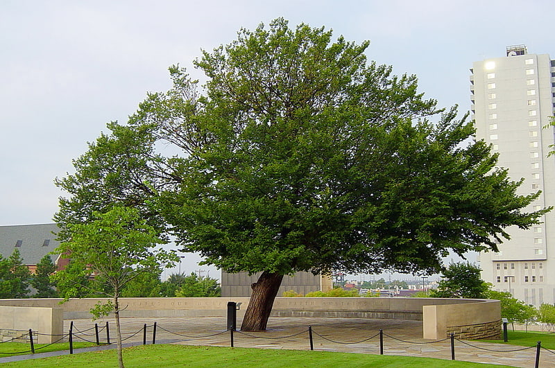
Nearby attractions include St. Paul's Cathedral, Oklahoma City (5 min walk), Oklahoma City National Memorial & Museum, Oklahoma City (9 min walk), Survivor Tree, Oklahoma City (9 min walk), Midtown Oklahoma City, Oklahoma City (9 min walk).
How to get to Automobile Alley by public transport?
The nearest stations to Automobile Alley:
Tram
Bus
Train
Tram
- Northwest 10th Street • Lines: OKC Streetcar Downtown Loop (1 min walk)
- Art Park • Lines: OKC Streetcar Downtown Loop (5 min walk)
Bus
- The Central Oklahoma Transportation and Parking Authority City Bus Terminal (12 min walk)
Train
- Oklahoma City (23 min walk)