Saint Anne's Hill Historic District, Dayton
Map

Map

Facts and practical information
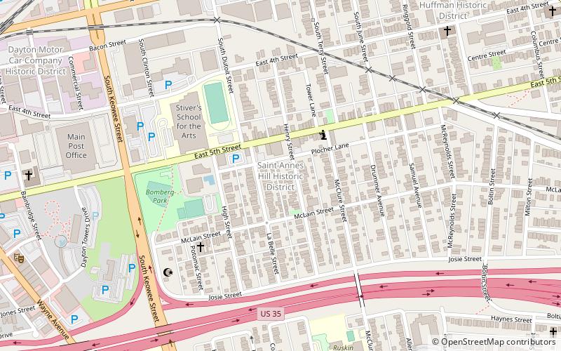
Saint Anne's Hill Historic District is part of the Historic Inner East neighborhood in Dayton, Ohio, United States. St. Anne's Hill constitutes a grouping of both vernacular and high style Victorian residences which date roughly from 1860 to the early 20th century. Having originally been platted in 1802 by German immigrants, the neighborhood is significant for its German heritage. Stivers School for the Arts is located within St. Anne's Hill. ()
Coordinates: 39°45'28"N, 84°10'21"W
Address
Historic Inner EastDayton
ContactAdd
Social media
Add
Day trips
Saint Anne's Hill Historic District – popular in the area (distance from the attraction)
Nearby attractions include: PNC Second Street Market, Dayton Arcade, Woodland Cemetery and Arboretum, Benjamin F. Kuhns Building.
Frequently Asked Questions (FAQ)
Which popular attractions are close to Saint Anne's Hill Historic District?
Nearby attractions include Historic Inner East, Dayton (3 min walk), Islamic Society of Greater Dayton, Dayton (7 min walk), Huffman Historic District, Dayton (10 min walk), St. Mary's Catholic Church, Dayton (11 min walk).


