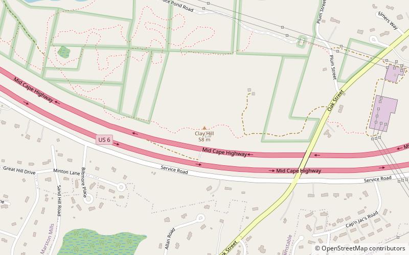
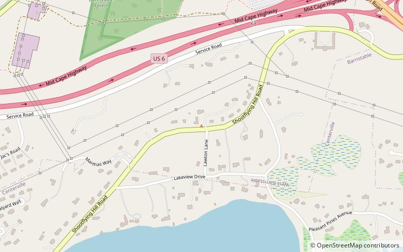
Clay Hill, Centerville
Map
Facts and practical information
Clay Hill is a mountain in Barnstable County, Massachusetts. It is located 1.8 miles south-southeast of West Barnstable in the Town of Barnstable. Shootflying Hill is located east and White Hill is located north of Clay Hill. ()
Coordinates: 41°41'7"N, 70°21'28"W
Address
Mid Cape (West Barnstable)Centerville
ContactAdd
Social media
Add
Day trips


Frequently Asked Questions (FAQ)
Which popular attractions are close to Clay Hill?
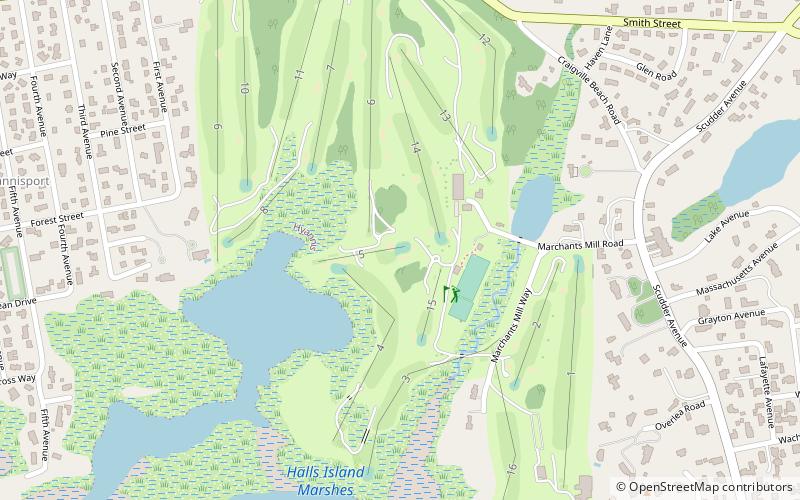
Nearby attractions include Blish-Garret House, Barnstable (17 min walk), Shootflying Hill, Centerville (20 min walk).