West Anaheim, Anaheim

Map
Facts and practical information
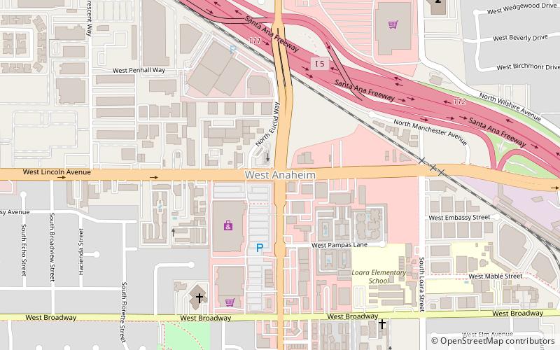
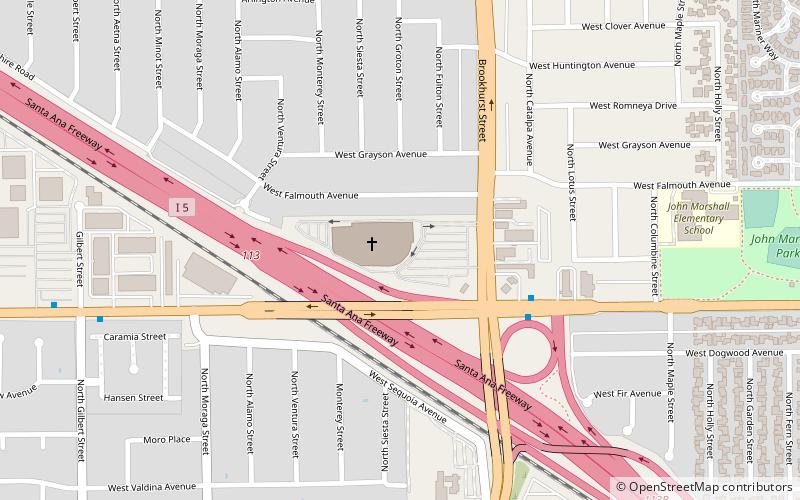
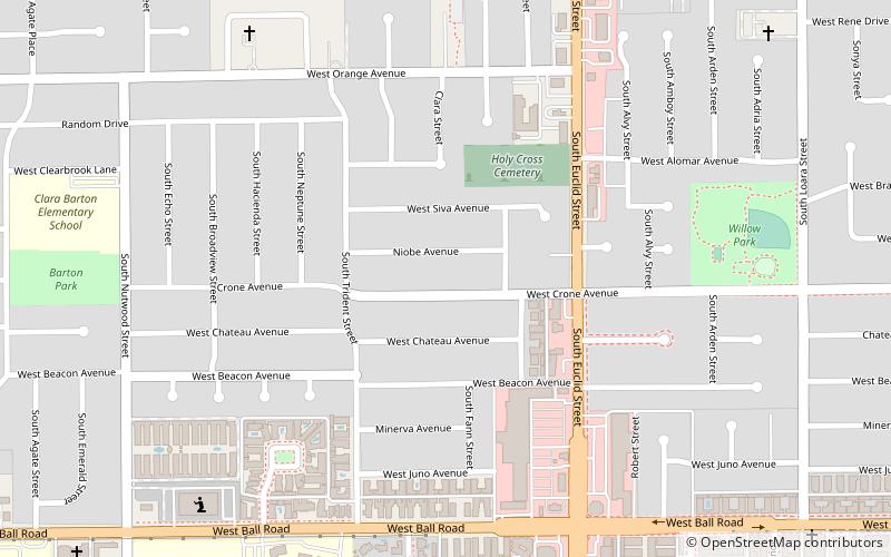
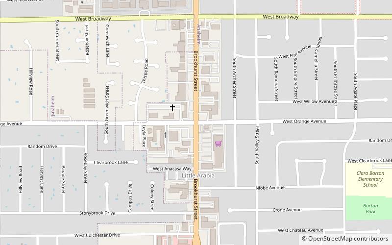
West Anaheim is a district in Anaheim, California which extends from Euclid Street on the East to the city limits at Cypress on the West. West Anaheim is where most of the residential development occurred during the 1950s and the 1960s, after Disneyland opened in 1955. ()
Coordinates: 33°49'57"N, 117°56'29"W
Address
West AnaheimAnaheim
ContactAdd
Social media
Add
Day trips
West Anaheim – popular in the area (distance from the attraction)
Nearby attractions include: Star Wars: Millennium Falcon – Smugglers Run, Sarang Community Church of Southern California, John Woelke House, Glover Stadium.
Frequently Asked Questions (FAQ)
How to get to West Anaheim by public transport?
The nearest stations to West Anaheim:
Bus
Bus
- Lincoln & Euclid • Lines: 18 (1 min walk)
- Springhill Suites Anaheim Maingate • Lines: 11 (34 min walk)


