Albemarle–Kenmore Terraces Historic District, Sea Gate
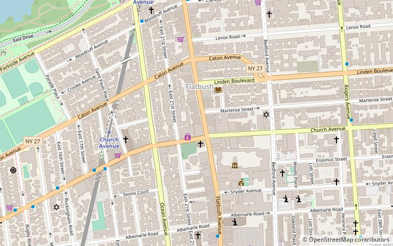
Map
Facts and practical information
The Albemarle–Kenmore Terraces Historic District is a small historic district located in the Flatbush neighborhood of Brooklyn, New York City. It consists of two short cul-de-sacs, Albemarle Terrace and Kenmore Terrace, off of East 21st Street, and the 32 houses on the two streets. ()
Coordinates: 40°39'3"N, 73°57'33"W
Address
Central Brooklyn (Flatbush)Sea Gate
ContactAdd
Social media
Add
Getting there by public transportation
Public transportation stops near this location
- Metro
- Bus
 Metro
Metro
- Calculate routeChurch Avenue 7 min walk
- Calculate routeProspect Park West & Bartel Pritchard Square 34 min walk
- Calculate route9th Street & 8th Avenue 38 min walk
Day trips


Frequently Asked Questions (FAQ)
Which popular attractions are close to Albemarle–Kenmore Terraces Historic District?
Nearby attractions include Flatbush Reformed Dutch Church Complex, New York City (2 min walk), Flatbush African Burial Ground, Sea Gate (5 min walk), Flatbush Town Hall, Sea Gate (5 min walk), Flatbush, Sea Gate (11 min walk).
How to get to Albemarle–Kenmore Terraces Historic District by public transport?
The nearest stations to Albemarle–Kenmore Terraces Historic District:
Metro
Bus
Metro
- Church Avenue • Lines: B, Q (7 min walk)
Bus
- Prospect Park West & Bartel Pritchard Square • Lines: B61 (34 min walk)
- 9th Street & 8th Avenue • Lines: B61 (38 min walk)