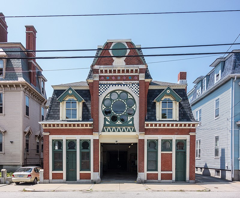
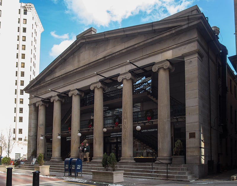
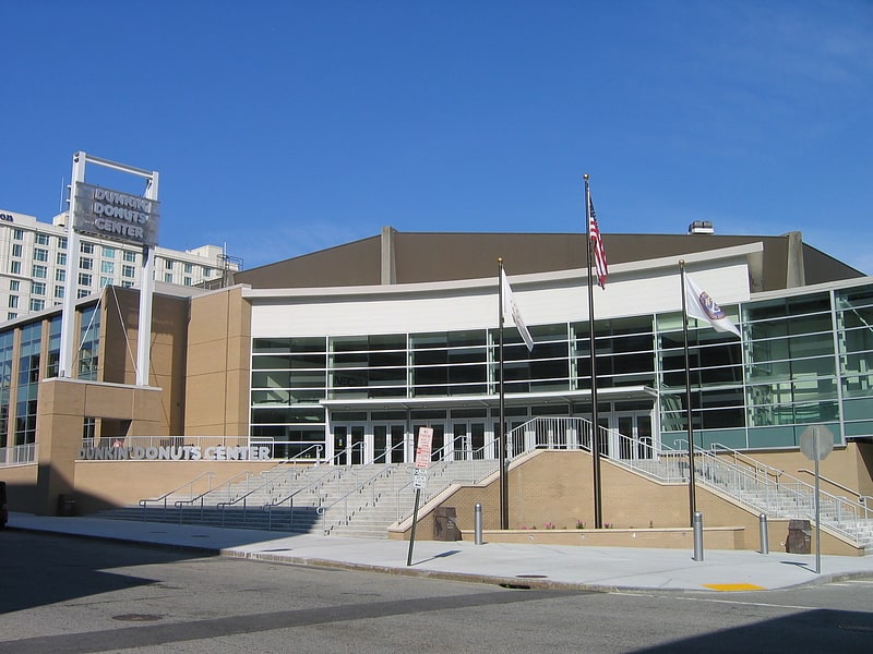
Broadway–Armory Historic District, Providence

Gallery (8)
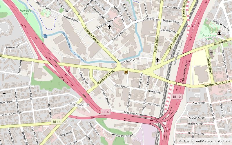
Map


Map

Gallery
Facts and practical information
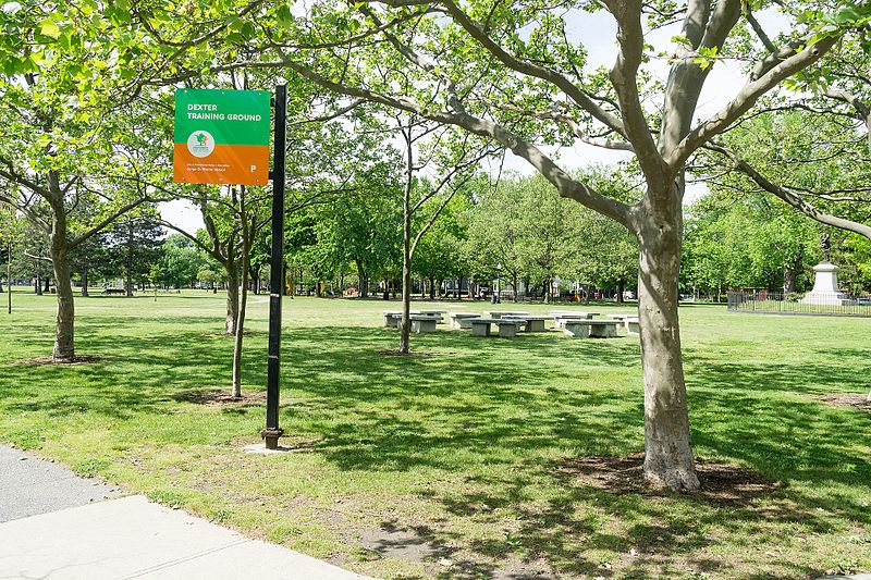
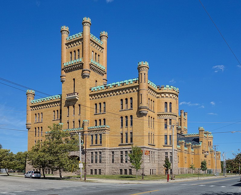
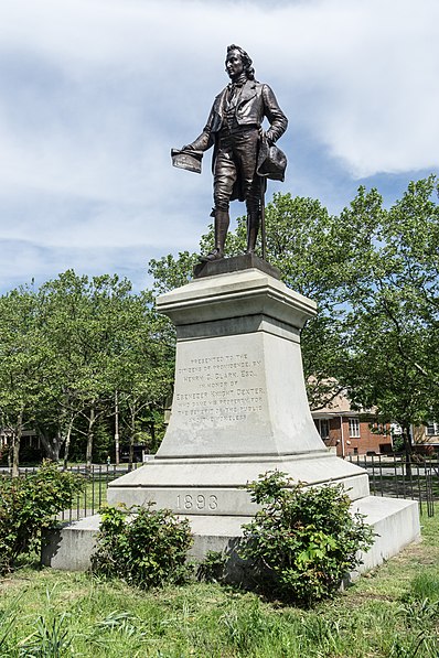
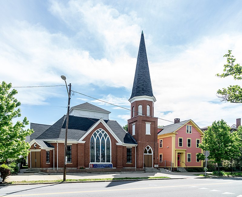
The Broadway–Armory Historic District is a historic district encompassing a mainly residential mixed-used urban area west of downtown Providence, Rhode Island. ()
Coordinates: 41°48'58"N, 71°25'46"W
Address
West End ProvidenceProvidence
ContactAdd
Social media
Add
Getting there by public transportation
Public transportation stops near this location
- Bus
- Train
 Bus
Bus
- Calculate routeKennedy Plaza Intermodal Transportation Center 28 min walk
- Calculate routeKennedy Plaza Stop V 28 min walk
- Calculate routeDorrance and Pine 28 min walk
- Calculate routeExchange Terrace Stop X 29 min walk
- Calculate routeProvidence 32 min walk
Day trips


Frequently Asked Questions (FAQ)
Which popular attractions are close to Broadway–Armory Historic District?
Nearby attractions include Federal Hill, Providence (7 min walk), Columbus Theatre, Providence (9 min walk), Bridgham–Arch–Wilson Streets Historic District, Providence (9 min walk), Jones Warehouses, Providence (10 min walk).
How to get to Broadway–Armory Historic District by public transport?
The nearest stations to Broadway–Armory Historic District:
Bus
Train
Bus
- Kennedy Plaza Intermodal Transportation Center (28 min walk)
- Kennedy Plaza Stop V • Lines: 56 (28 min walk)
Train
- Providence (32 min walk)