Kearny Uplands, Newark

Map
Facts and practical information
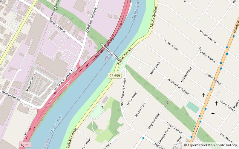
The Uplands district of Kearny, New Jersey is the residential area in the northwestern portion of town, on a ridge between the Kearny Meadows and the Passaic River, along which runs Riverbank Park. Arlington is located within the Kearny Uplands. ()
Coordinates: 40°46'32"N, 74°8'59"W
Address
Kearny (Manor Section)Newark
ContactAdd
Social media
Add
Day trips
Kearny Uplands – popular in the area (distance from the attraction)
Nearby attractions include: Belleville Turnpike Bridge, North Arlington Jewish Cemetery, Arlington Memorial Park, Kearny Public Library.
Frequently Asked Questions (FAQ)
Which popular attractions are close to Kearny Uplands?
Nearby attractions include WR Draw, Newark (2 min walk), Kearny Riverbank Park, Newark (4 min walk), Belleville Turnpike Bridge, Newark (20 min walk), Belleville Dutch Reformed Church, Newark (20 min walk).
How to get to Kearny Uplands by public transport?
The nearest stations to Kearny Uplands:
Bus
Bus
- North Arlington Loop (23 min walk)


