Rotary Trail, Birmingham

Gallery (1)
Map
Map
Facts and practical information
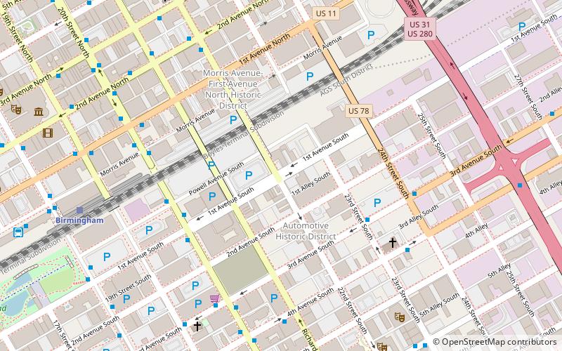
Rotary Trail is a half-mile linear park in downtown Birmingham, Alabama. The trail was predominantly funded by the Birmingham Rotary Club in honor of their centennial anniversary. The trail runs from 20th Street to 24th Street along First Avenue South and connects two major downtown areas: the 19-acre Railroad Park on one side, and Sloss Furnaces, a National Historic Landmark, on the other side. It opened in 2016. ()
Elevation: 610 ft a.s.l.Coordinates: 33°30'47"N, 86°48'4"W
Address
SouthsideBirmingham
ContactAdd
Social media
Add
Getting there by public transportation
Public transportation stops near this location
- Bus
- Train
 Bus
Bus
- Calculate routeNE Corner of 3rd Av S & 23rd St S 5 min walk
- Calculate routeNE Corner of 20th St S & 1st Av S 5 min walk
- Calculate routeSW Corner of 20th St S & 1st Av S 6 min walk
- Calculate routeNW Corner of 20th St S & Powell Av S 6 min walk
- Calculate routeBirmingham 10 min walk
Day trips


Frequently Asked Questions (FAQ)
Which popular attractions are close to Rotary Trail?
Nearby attractions include Automotive Historic District, Birmingham (2 min walk), Morris Avenue–First Avenue North Historic District, Birmingham (6 min walk), John Hand Building, Birmingham (7 min walk), Cathedral of Saint Paul, Birmingham (10 min walk).
How to get to Rotary Trail by public transport?
The nearest stations to Rotary Trail:
Bus
Train
Bus
- NE Corner of 3rd Av S & 23rd St S • Lines: 17 (5 min walk)
- NE Corner of 20th St S & 1st Av S • Lines: 12, 14, 90 (5 min walk)
Train
- Birmingham (10 min walk)