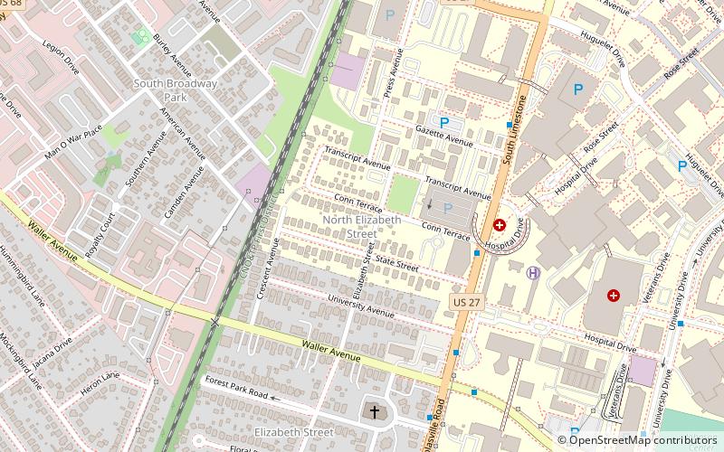
North Elizabeth Street, Lexington
Map
Facts and practical information
North Elizabeth Street is a neighborhood in southwestern Lexington, Kentucky, United States. It is located just west of the University of Kentucky and most of its residents are college students. ()
Coordinates: 38°1'52"N, 84°30'46"W
Address
North Elizabeth StreetLexington
ContactAdd
Social media
Add
Getting there by public transportation
Public transportation stops near this location
- Bus
 Bus
Bus
- Calculate route1624 Cooper @ Science Building Inbound 7 min walk
- Calculate route1366 - Nicholasville @ Forest Park Outbound 7 min walk
- Calculate route1389 Nicholasville @ Farm Inbound 10 min walk
- Calculate route197 University @ Complex Inbound 11 min walk
Day trips


Frequently Asked Questions (FAQ)
Which popular attractions are close to North Elizabeth Street?
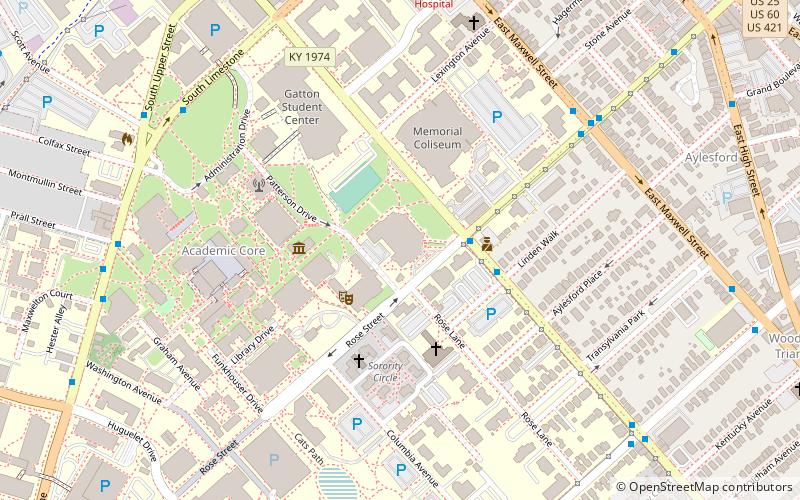
Nearby attractions include Burley Park, Lexington (10 min walk), South Broadway Park, Lexington (13 min walk), University of Kentucky, Lexington (13 min walk), Memorial Hall, Lexington (14 min walk).
How to get to North Elizabeth Street by public transport?
The nearest stations to North Elizabeth Street:
Bus
Bus
- 1624 Cooper @ Science Building Inbound • Lines: 16 Southland Dr (7 min walk)
- 1366 - Nicholasville @ Forest Park Outbound • Lines: 16 Southland Dr, 5, 5 Nicholasville Road (7 min walk)