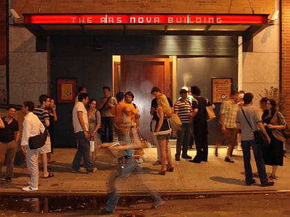
Tenth Avenue, New York City
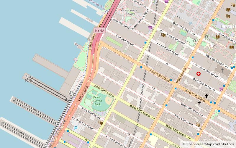
Map
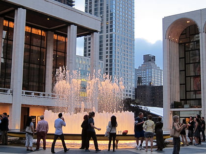
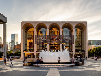
Gallery
Facts and practical information
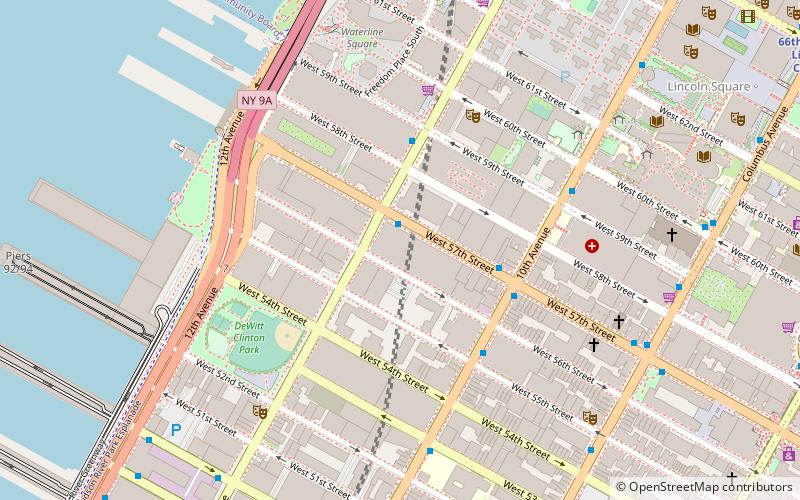
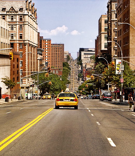
Tenth Avenue, known as Amsterdam Avenue between 59th Street and 193rd Street, is a north-south thoroughfare on the West Side of Manhattan in New York City. It carries uptown traffic as far as West 110th Street, after which it continues as a two-way street. ()
Address
Midtown Manhattan (Hell's Kitchen)New York City
ContactAdd
Social media
Add
Day trips
Tenth Avenue – popular in the area (distance from the attraction)
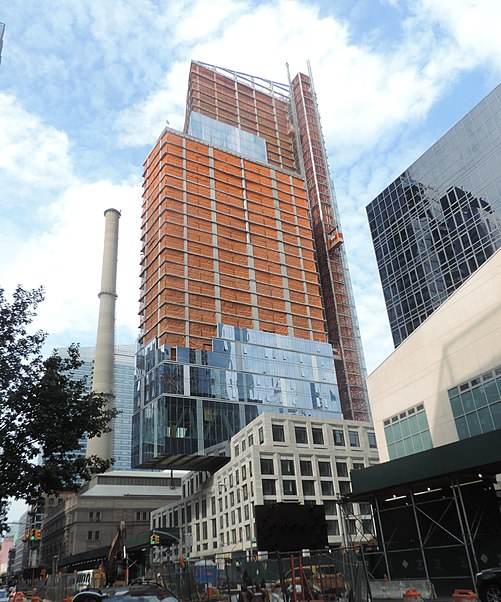
Nearby attractions include: Terminal 5, Deutsche Bank Center, Revson Fountain, The Shops at Columbus Circle.
Frequently Asked Questions (FAQ)
Which popular attractions are close to Tenth Avenue?
Nearby attractions include Lloyd Sealy Library, New York City (1 min walk), St. Paul the Apostle Church, New York City (4 min walk), Our Saviour New York, New York City (4 min walk), Anya and Andrew Shiva Art Gallery, New York City (4 min walk).
How to get to Tenth Avenue by public transport?
The nearest stations to Tenth Avenue:
Bus
Metro
Ferry
Bus
- Broadway & West 61st Street • Lines: M10, M104, M7 (8 min walk)
- Broadway & West 64th Street • Lines: M104, M7 (8 min walk)
Metro
- 59th Street–Columbus Circle • Lines: 1, A, B, C, D (9 min walk)
- 66th Street–Lincoln Center • Lines: 1, 2 (9 min walk)
Ferry
- Midtown/West 39th Street (28 min walk)



 Subway
 Manhattan Buses