Kent Industrial District, Kent


Facts and practical information
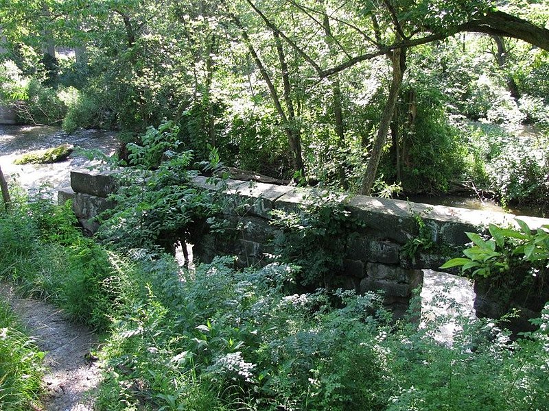
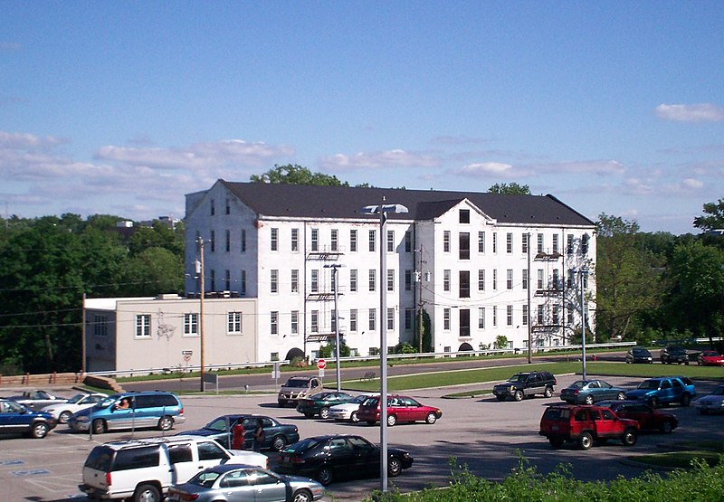
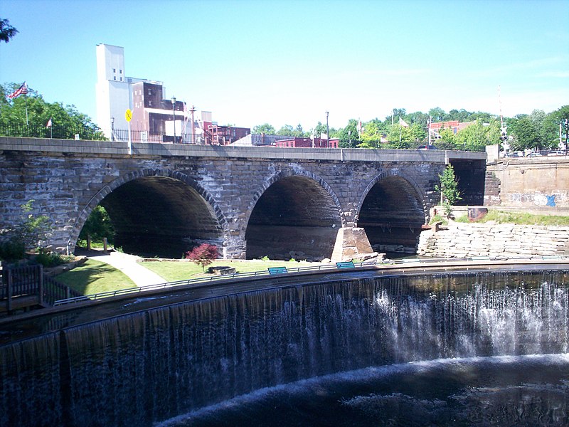
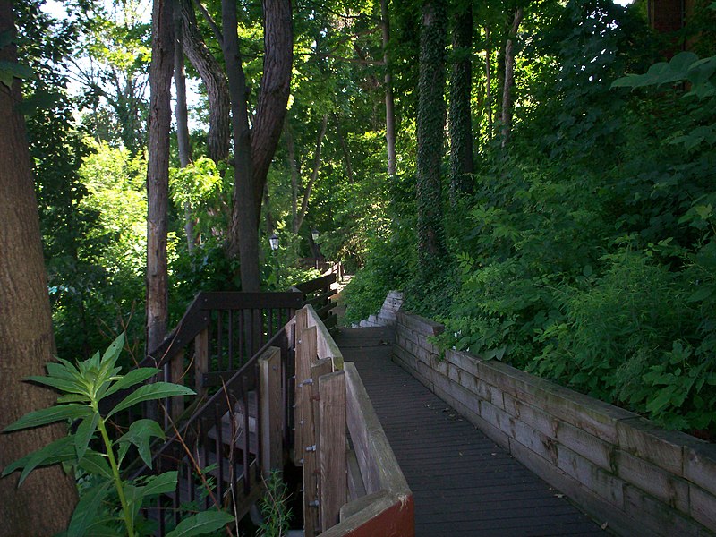
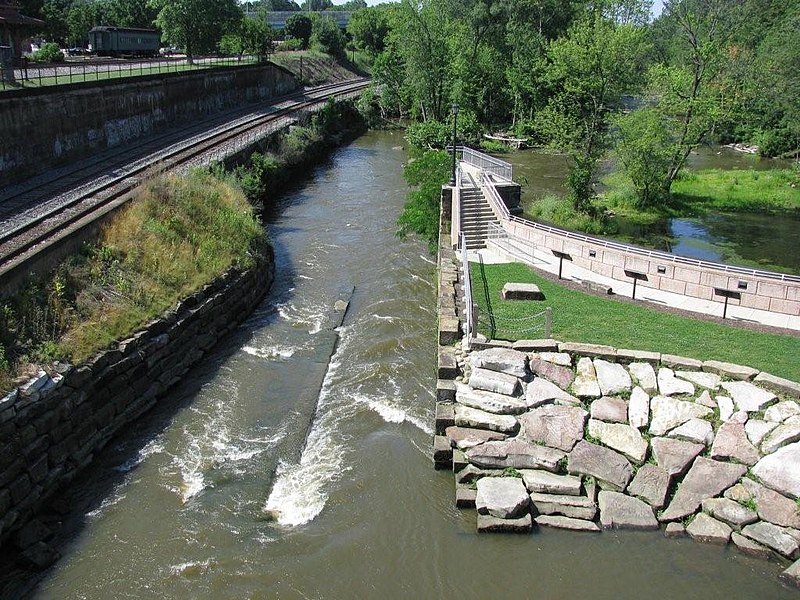
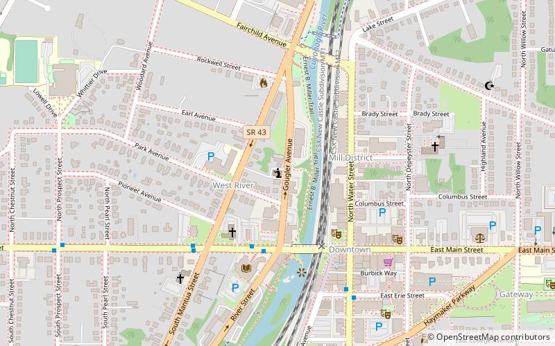
The Kent Industrial District is a historic district in Kent, Ohio, United States, listed on the National Register of Historic Places. The district covers around 4.3 acres of downtown Kent on either side of the Cuyahoga River and is roughly bounded by West Main Street on the north, River Street to the west, Franklin Avenue to the east and Haymaker Parkway to the south. Within the district are three buildings and two stone structures of historical significance. It was listed on the National Register of Historic Places in 1974. Kent namesake Marvin Kent was involved in several aspects of the district's development and the area would play a key role in the development of Kent during much of the 19th century. The earliest structures in the district date to the 1830s with the most recent historic structure, the livery and carriage shop building, dating to 1910. The area today is occupied mostly by the city of Kent's Franklin Mills Riveredge Park, Heritage Park, and various private landowners. ()
Kent CBDKent
- Bus
 Bus
Bus
- Calculate routeMain and River Eastbound 2 min walk
- Calculate routeWater and Erie Southbound 3 min walk


Frequently Asked Questions (FAQ)
Which popular attractions are close to Kent Industrial District?
How to get to Kent Industrial District by public transport?
Bus
- Main and River Eastbound • Lines: 30 (2 min walk)
- Water and Erie Southbound • Lines: 30 (3 min walk)