Olmsted Subdivision Historic District, Lynn
Map

Map

Facts and practical information
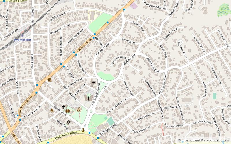
Olmsted Subdivision Historic District is a historic district roughly bounded by New Ocean St/Paradise Road, Swampscott Avenue, Redington Street and Burrill Street in Swampscott, Massachusetts. ()
Coordinates: 42°28'18"N, 70°54'56"W
Address
SwampscottLynn
ContactAdd
Social media
Add
Day trips
Olmsted Subdivision Historic District – popular in the area (distance from the attraction)
Nearby attractions include: Mary Baker Eddy House, Swampscott Cemetery, Swampscott Town Hall, Lynn Shore Drive.
Frequently Asked Questions (FAQ)
Which popular attractions are close to Olmsted Subdivision Historic District?
Nearby attractions include John Humphreys House, Lynn (4 min walk), Swampscott, Lynn (5 min walk), Swampscott Town Hall, Lynn (6 min walk), Swampscott Fish House, Lynn (11 min walk).
How to get to Olmsted Subdivision Historic District by public transport?
The nearest stations to Olmsted Subdivision Historic District:
Train
Train
- Swampscott (10 min walk)


