Uvas Creek Preserve, Gilroy
Map

Map

Facts and practical information
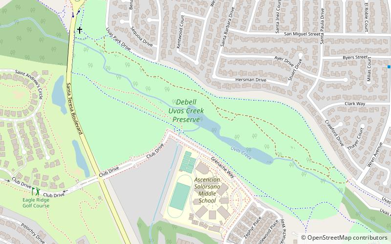
The Dennis DeBell Uvas Creek Park Preserve is a 125-acre greenbelt preserve operated by the City of Gilroy in southwest Santa Clara County, California. The Uvas Creek, which meanders through the center of the preserve, is its defining characteristic. The preserve is bordered by Uvas Creek Levee on the north, and by Christmas Hill Park on the south. A paved trail runs for approximately 2 miles along the boundary of the preserve, and can be used for jogging, hiking or bicycling. ()
Elevation: 210 ft a.s.l.Coordinates: 37°0'11"N, 121°35'42"W
Address
Gilroy
ContactAdd
Social media
Add
Day trips
Uvas Creek Preserve – popular in the area (distance from the attraction)
Nearby attractions include: Gilroy Gardens, Christmas Hill Park, Gilroy Golf Course, Eagle Ridge Golf Club.


