Clifton Avenue Historic District, Cincinnati

Gallery (1)
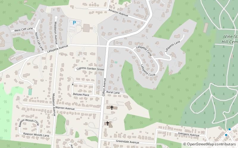
Map
Map
Facts and practical information
Clifton Avenue Historic District is a registered historic district in the Clifton neighborhood of Cincinnati, Ohio, listed in the National Register on December 8, 1978. It contains 38 contributing buildings. ()
Coordinates: 39°9'18"N, 84°31'1"W
Address
CliftonCincinnati
ContactAdd
Social media
Add
Getting there by public transportation
Public transportation stops near this location
- Bus
- Train
 Bus
Bus
- Calculate routeVine St & Juergens Ave 12 min walk
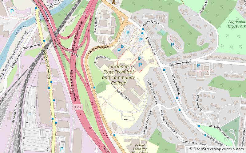
- Calculate routeSafari Train Station 22 min walk
Day trips


Frequently Asked Questions (FAQ)
Which popular attractions are close to Clifton Avenue Historic District?
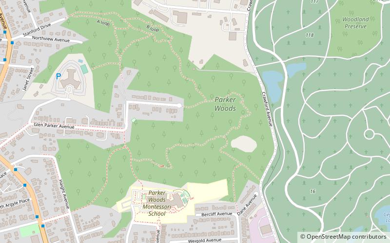
Nearby attractions include Calvary Episcopal Church, Cincinnati (6 min walk), Rawson House, Cincinnati (6 min walk), Probasco Fountain, Cincinnati (9 min walk), Clifton, Cincinnati (9 min walk).
How to get to Clifton Avenue Historic District by public transport?
The nearest stations to Clifton Avenue Historic District:
Bus
Train
Bus
- Vine St & Juergens Ave • Lines: 78 (12 min walk)
Train
- Safari Train Station (22 min walk)