Center for Railroad Photography & Art, Madison
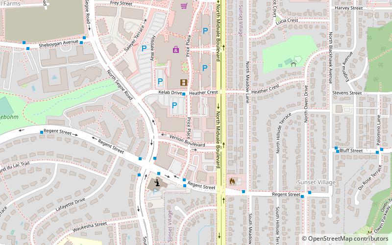
Map
Facts and practical information
The Center for Railroad Photography & Art, in Madison, Wisconsin, was incorporated as a nonprofit corporation in Wisconsin on December 9, 1997, to inform “the public about railroad photography and art through education, research and public service programs.” The Center was fostered by John Gruber, a writer with a lifelong interest in railroads and their history who'd had the hobby of photographing railroads since 1960. The Railway and Locomotive History Society honored Gruber in 1994 with a lifetime achievement award in railroad photography. ()
Coordinates: 43°4'13"N, 89°27'8"W
Address
Near WestMadison
ContactAdd
Social media
Add
Getting there by public transportation
Public transportation stops near this location
- Bus
 Bus
Bus
- Calculate routeHeather & Hilldale Mall 2 min walk
- Calculate routeN Segoe & Regent 4 min walk
- Calculate routeRegent & Price 4 min walk
Day trips


Frequently Asked Questions (FAQ)
Which popular attractions are close to Center for Railroad Photography & Art?
Nearby attractions include Hoyt Park, Madison (14 min walk), Dr. Charles and Judith Heidelberger House, Madison (14 min walk), Shorewood Hills Police Department, Madison (15 min walk), College Hills Historic District, Madison (22 min walk).
How to get to Center for Railroad Photography & Art by public transport?
The nearest stations to Center for Railroad Photography & Art:
Bus
Bus
- Heather & Hilldale Mall • Lines: 2 (2 min walk)
- N Segoe & Regent • Lines: 8 (4 min walk)