Perry Homestead Historic District, Westerly
Map
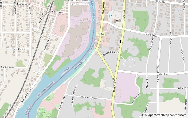
Map

Facts and practical information
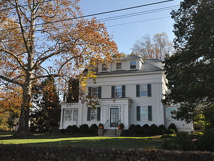
The Perry Homestead Historic District encompasses a cluster of residences built as a family compound by the locally prominent Perry family in Westerly, Rhode Island. Extending mainly along the northern part of Margin Street south of downtown Westerly, the area was developed in the 1920s, and includes five family residences, a caretaker's house, and shared landscaping of a former gentleman's farm. The district was added to the National Register of Historic Places in 2016. ()
Coordinates: 41°22'9"N, 71°49'54"W
Address
Westerly
ContactAdd
Social media
Add
Day trips
Perry Homestead Historic District – popular in the area (distance from the attraction)
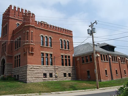
Nearby attractions include: Westerly Downtown Historic District, Babcock-Smith House Museum, Westerly Armory, United States Post Office.
Frequently Asked Questions (FAQ)
Which popular attractions are close to Perry Homestead Historic District?
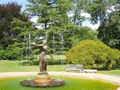
Nearby attractions include Westerly Downtown Historic District, Westerly (14 min walk), United States Post Office, Westerly (16 min walk), Babcock-Smith House Museum, Westerly (16 min walk), Wilcox Park, Westerly (18 min walk).
