Bonsallo Avenue, Los Angeles
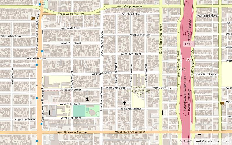
Map
Facts and practical information
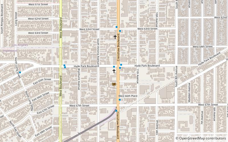
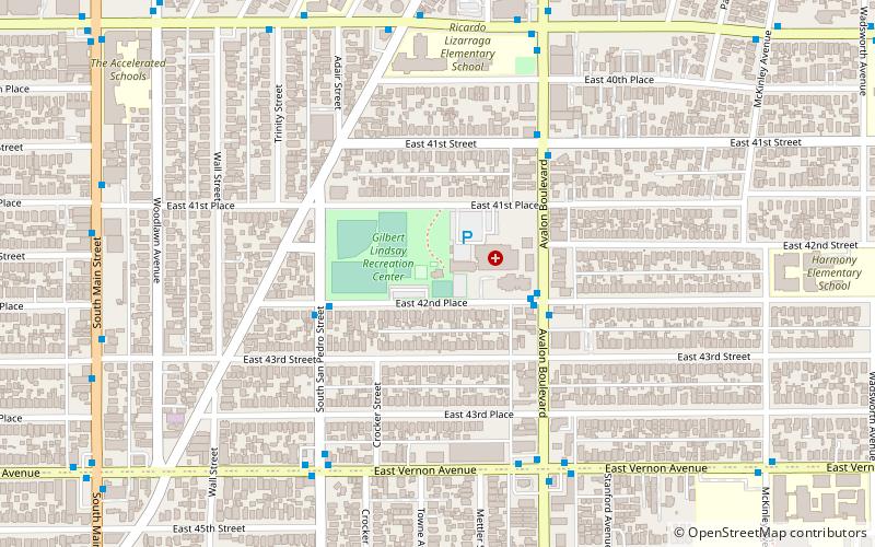
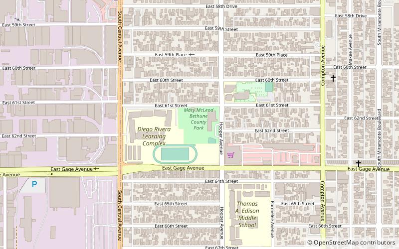
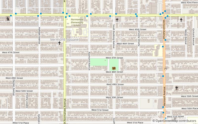
Bonsallo Avenue is a street in South Los Angeles that consists of two segments about four miles apart. The northern segment, located in historic West Adams, Los Angeles near downtown, is home to six Los Angeles Historic-Cultural Monuments. The southern segment, near Slauson Avenue, is between Los Angeles' Mt Carmel and Hoover-Gage parks. ()
Coordinates: 33°58'42"N, 118°17'10"W
Address
South Los Angeles (Vermont - Slauson)Los Angeles
ContactAdd
Social media
Add
Day trips
Bonsallo Avenue – popular in the area (distance from the attraction)
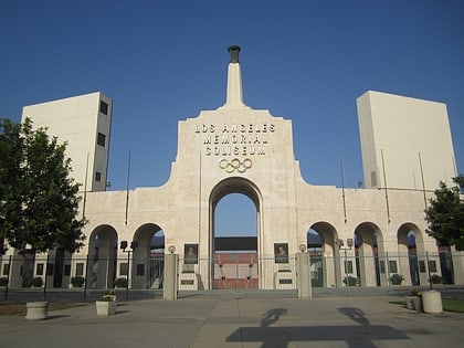
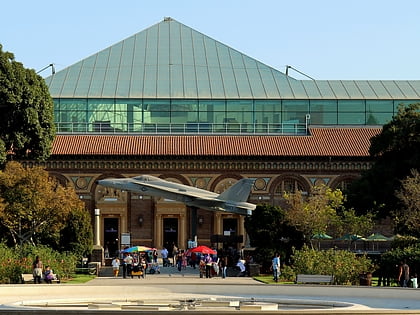
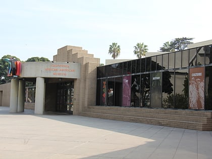
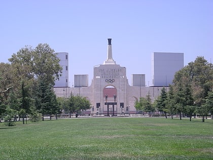
Nearby attractions include: Los Angeles Memorial Coliseum, California Science Center, California African American Museum, Exposition Park.
Frequently Asked Questions (FAQ)
Which popular attractions are close to Bonsallo Avenue?
Nearby attractions include John Muir Branch Library, Los Angeles (8 min walk), Southern California Library for Social Studies and Research, Los Angeles (13 min walk).
How to get to Bonsallo Avenue by public transport?
The nearest stations to Bonsallo Avenue:
Bus
Bus
- Vermont & 66th • Lines: 204 (9 min walk)
 Metro & Regional Rail