Virginia Park Historic District, Detroit
Map

Gallery

Facts and practical information
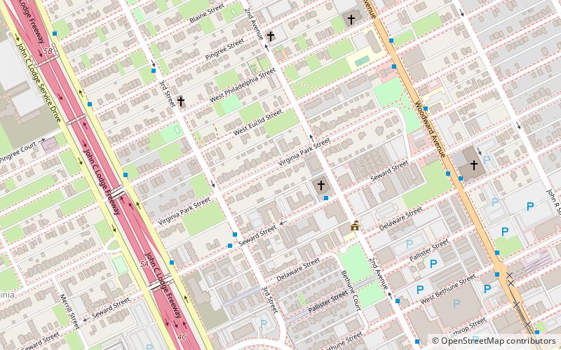
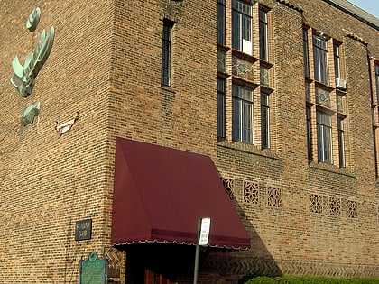
The Virginia Park Historic District is located on the north side of New Center, an area in Detroit, Michigan, along both sides of Virginia Park Street from Woodward Avenue to the John C. Lodge Freeway access road. The district was listed on the National Register of Historic Places in 1982. ()
Coordinates: 42°22'28"N, 83°4'53"W
Address
Central (Piety Hill)Detroit
ContactAdd
Social media
Add
Day trips
Virginia Park Historic District – popular in the area (distance from the attraction)
Nearby attractions include: Detroit Institute of Arts, Ford Piquette Avenue Plant, Motown Museum, Fisher Building.
Frequently Asked Questions (FAQ)
Which popular attractions are close to Virginia Park Historic District?
Nearby attractions include Woodward Avenue Presbyterian Church, Detroit (7 min walk), Metropolitan United Methodist Church, Detroit (8 min walk), First Baptist Church, Detroit (8 min walk), Albert Kahn Building, Detroit (9 min walk).
How to get to Virginia Park Historic District by public transport?
The nearest stations to Virginia Park Historic District:
Bus
Tram
Train
Bus
- Seward / 2nd • Lines: 23 (3 min walk)
- 3rd / Seward NS • Lines: 23 (3 min walk)
Tram
- Grand Boulevard • Lines: QLine (13 min walk)
- Baltimore Street • Lines: QLine (16 min walk)
Train
- Detroit (17 min walk)


