Liberty Avenue, New York City
Map

Map

Facts and practical information
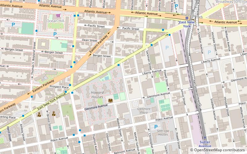
Liberty Avenue is an 8-mile long west-east avenue in Brooklyn and Queens, New York City. It is bidirectional for most of its length, running between Mother Gaston Boulevard in Brooklyn in the west and Farmers Boulevard in Queens in the east. ()
Coordinates: 40°40'22"N, 73°54'28"W
Address
Eastern Brooklyn (Brownsville)New York City
ContactAdd
Social media
Add
Day trips
Liberty Avenue – popular in the area (distance from the attraction)
Nearby attractions include: Ridgewood Reservoir, New Lots Community Church, Cemetery of the Evergreens, Betsy Head Park.
Frequently Asked Questions (FAQ)
Which popular attractions are close to Liberty Avenue?
Nearby attractions include Betsy Head Park, New York City (20 min walk), Chief Charles A. Joshua Plaza, New York City (22 min walk).
How to get to Liberty Avenue by public transport?
The nearest stations to Liberty Avenue:
Metro
Train
Metro
- Atlantic Avenue • Lines: L (8 min walk)
- Sutter Avenue • Lines: L (10 min walk)
Train
- East New York (9 min walk)

 Subway
 Manhattan Buses


