Elfreth's Alley, Philadelphia
Map

Gallery

Facts and practical information
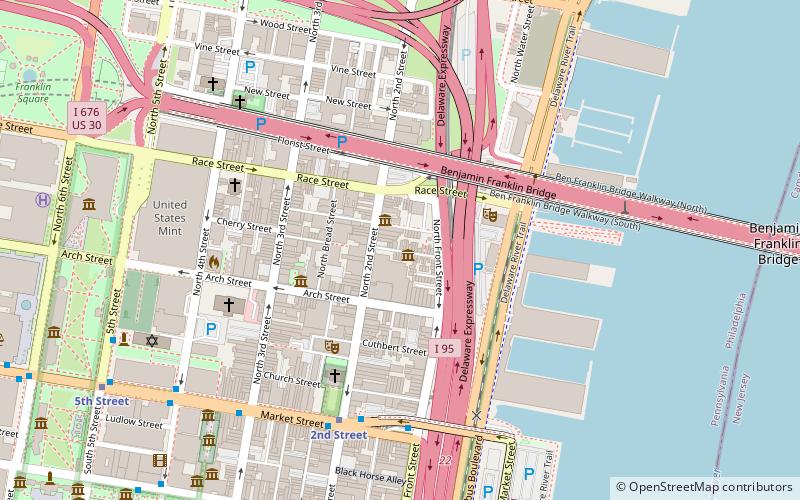
Elfreth's Alley is a historic street in Philadelphia, dating back to 1703. There are 32 houses on the street which were built between 1703 and 1836. The Elfreth's Alley Museum is located at #124 and 126. The alley is a National Historic Landmark. Located in the Old City neighborhood, Elfreth's Alley is between North 2nd Street and North Front Street, in the block between Arch and Quarry Streets. ()
Address
Center City (Old City)Philadelphia
ContactAdd
Social media
Add
Day trips
Elfreth's Alley – popular in the area (distance from the attraction)
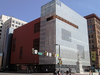
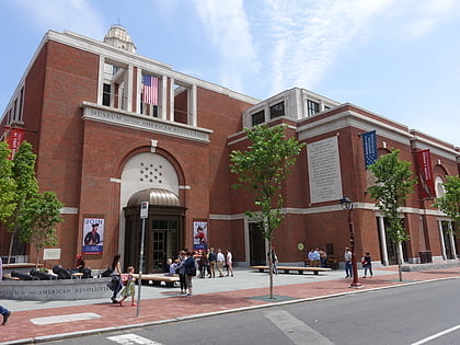
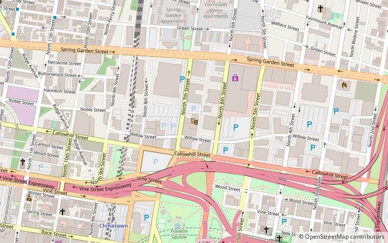
Nearby attractions include: National Constitution Center, National Museum of American Jewish History, Museum of the American Revolution, Franklin Music Hall.
Frequently Asked Questions (FAQ)
Which popular attractions are close to Elfreth's Alley?
Nearby attractions include Free Quaker Meetinghouse, Philadelphia (1 min walk), Old City, Philadelphia (1 min walk), N3RD Street, Philadelphia (3 min walk), Betsy Ross House, Philadelphia (3 min walk).
How to get to Elfreth's Alley by public transport?
The nearest stations to Elfreth's Alley:
Metro
Bus
Train
Light rail
Tram
Metro
- 2nd Street • Lines: Mfl (6 min walk)
- 5th Street • Lines: Mfl (10 min walk)
Bus
- FlixBus Philadelphia Market Street • Lines: 2602, 2680, N2610 (12 min walk)
- Spruce St & 6th St • Lines: 12 (18 min walk)
Train
- Jefferson Station (21 min walk)
Light rail
- Adventure Aquarium • Lines: River Line (23 min walk)
- Cooper Street–Rutgers • Lines: River Line (26 min walk)
Tram
- Frankford Avenue & Delaware Avenue • Lines: 15 (25 min walk)
- 13th Street • Lines: 10, 11, 13, 34, 36 (27 min walk)

 SEPTA Regional Rail


