South Central, Salem
Map
Facts and practical information
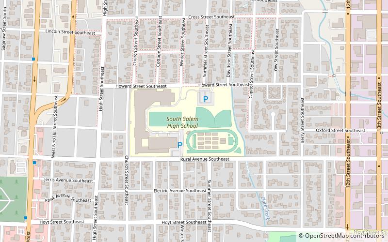
South Central is a neighborhood in Salem, Oregon, United States, located just south of downtown. Major neighborhood features include Bush's Pasture Park, the Asahel Bush House and Museum, Deepwood Estate, Gaiety Hill-Bush's Pasture Park Historic District, South Salem High School, and Mahonia Hall, the official residence of the governor of Oregon. ()
Coordinates: 44°55'21"N, 123°2'15"W
Address
South CentralSalem
ContactAdd
Social media
Add
Getting there by public transportation
Public transportation stops near this location
- Bus
- Train
 Bus
Bus
- Calculate routeLiberty @ Owens 15 min walk
- Calculate routeSalem Greyhound Station 20 min walk
- Calculate routeSalem Amtrak Station 21 min walk
Day trips


Frequently Asked Questions (FAQ)
Which popular attractions are close to South Central?
Nearby attractions include Bush's Pasture Park, Salem (12 min walk), Salem Pioneer Cemetery, Salem (13 min walk), Deepwood Estate, Salem (15 min walk), Mahonia Hall, Salem (18 min walk).
How to get to South Central by public transport?
The nearest stations to South Central:
Bus
Train
Bus
- Liberty @ Owens • Lines: 21 (15 min walk)
- Salem Greyhound Station • Lines: 60X (20 min walk)
Train
- Salem Amtrak Station (21 min walk)