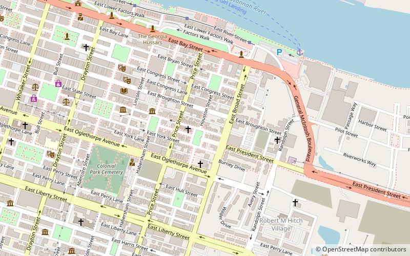
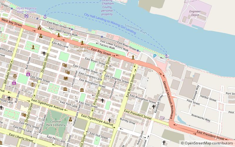
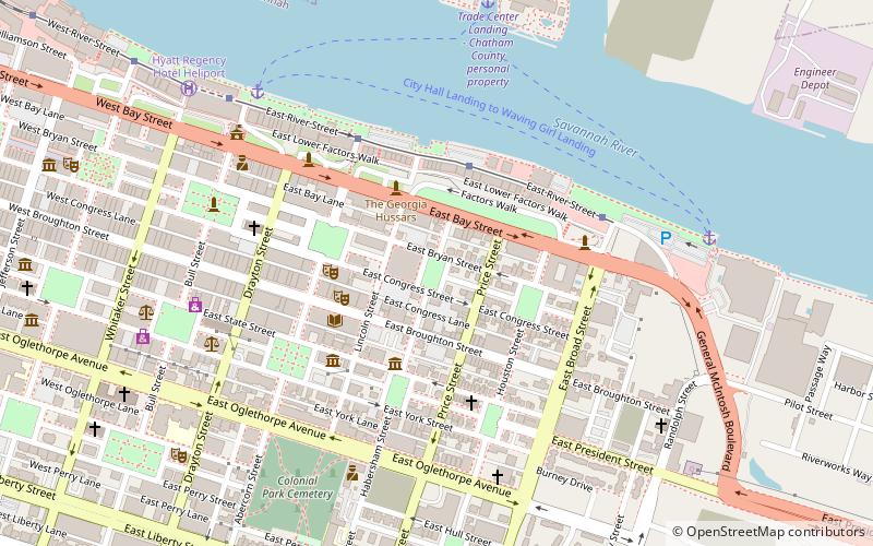
532–534 East State Street, Savannah
Map
Facts and practical information
532–534 East State Street is a historic building in Savannah, Georgia, United States. It is located in the northeastern tything of Greene Square and was built in 1897. It is part of the Savannah Historic District, and it stands immediately to the west of the John Dorsett House, the smallest free-standing house in the city. ()
Coordinates: 32°4'36"N, 81°5'9"W
Address
Downtown Savannah (North Historic District)Savannah
ContactAdd
Social media
Add
Getting there by public transportation
Public transportation stops near this location
- Bus
- Tram
 Bus
Bus
- Calculate routeStop 13 min walk
- Calculate routeG 21 min walk
- Calculate routeF 21 min walk
- Calculate routeI 22 min walk
- Calculate routeE 22 min walk
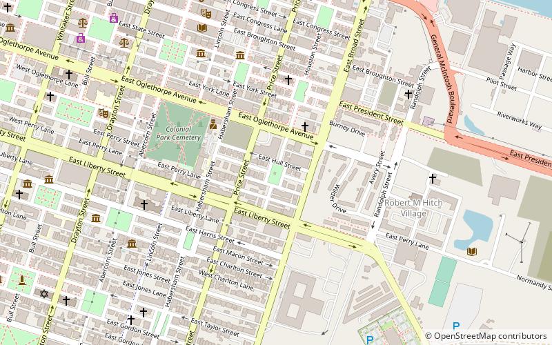
Day trips
532–534 East State Street – popular in the area (distance from the attraction)
Nearby attractions include: Emmet Park, Reynolds Square, Pirates' House, Columbia Square.


Frequently Asked Questions (FAQ)
Which popular attractions are close to 532–534 East State Street?
Nearby attractions include John Dorsett House, Savannah (1 min walk), 538 East State Street, Savannah (1 min walk), 542 East State Street, Savannah (1 min walk), 117–119 Houston Street, Savannah (1 min walk).
How to get to 532–534 East State Street by public transport?
The nearest stations to 532–534 East State Street:
Tram
Bus
Tram
- Stop • Lines: Rssc (13 min walk)
Bus
- G • Lines: 17 (21 min walk)
- F • Lines: 29 (21 min walk)