Potter's Field, Omaha

Map
Facts and practical information
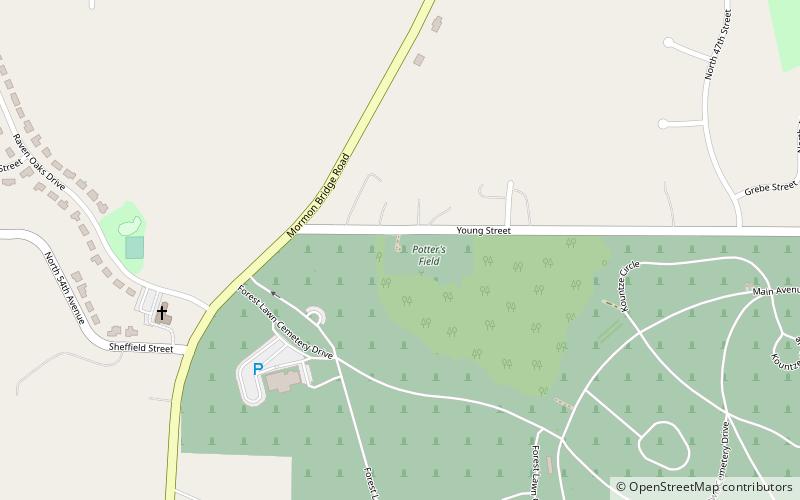
The Potter's Field Cemetery in Omaha, Nebraska, United States is located on a 5-acre plot of land at 5000 Young Street near the intersections of Young Street and Mormon Bridge Road. Like all Potter's Fields, it was used to bury poor people or people with no known identity from across the Omaha area. The cemetery was active from 1887 to 1957. ()
Coordinates: 41°19'55"N, 95°59'25"W
Address
FlorenceOmaha
ContactAdd
Social media
Add
Day trips
Potter's Field – popular in the area (distance from the attraction)
Nearby attractions include: Forest Lawn Memorial Park, North Omaha, Temple Israel Cemetery, Notre Dame Academy and Convent.


