Cherry Street Tavern, Philadelphia
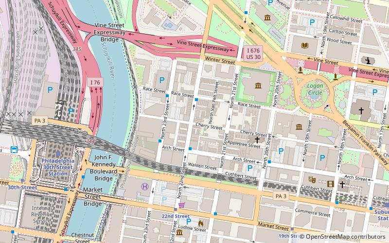
Map
Facts and practical information
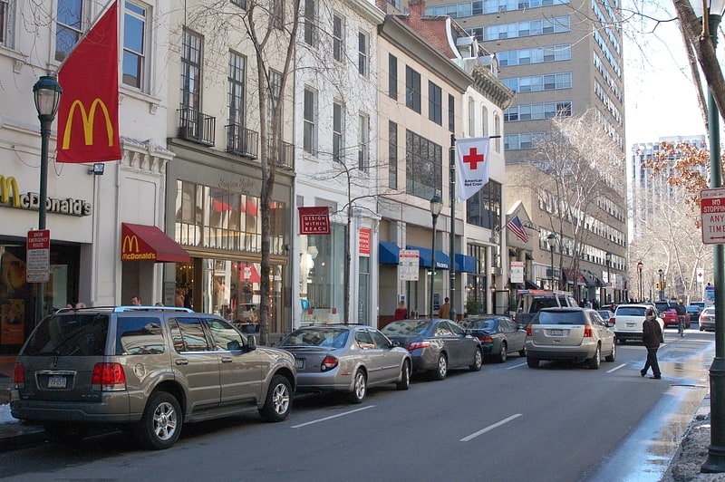
The Cherry Street Tavern is a bar and restaurant at 22nd and Cherry Streets in the Logan Square neighborhood of Philadelphia. It is notable as a local landmark that has operated in the same location since the early 1900s. The bar was bought by local football legend John "Tex" Flannery in 1972. He sold it to brothers Bill and Bob Loughery in 1990. Bill had started working for Tex full-time at the tavern in 1976. ()
Coordinates: 39°57'25"N, 75°10'33"W
Address
129 North 22nd StreetCenter City (Logan Square)Philadelphia
Contact
+1 215-561-5683
Social media
Add
Getting there by public transportation
Public transportation stops near this location
- Metro
- Bus
- Tram
- Train
 Metro
Metro
- Calculate route22nd Street 6 min walk
- Calculate route19th Street 9 min walk
- Calculate route30th Street 12 min walk
- Calculate route15th Street 17 min walk
- Calculate routePhiladelphia 30th Street Station 9 min walk
- Calculate routeSuburban Station 13 min walk
- Calculate routeJefferson Station 26 min walk
- Calculate routePenn Medicine 26 min walk
- Calculate routeWalnut St & 23rd St 11 min walk
- Calculate routeBolt Bus 11 min walk
- Calculate routeMegabus 12 min walk
- Calculate route30th Street 12 min walk
- Calculate route15th Street 16 min walk
- Calculate routeCity Hall 18 min walk
Maps SEPTA Regional Rail
SEPTA Regional RailDay trips
Cherry Street Tavern – popular in the area (distance from the attraction)
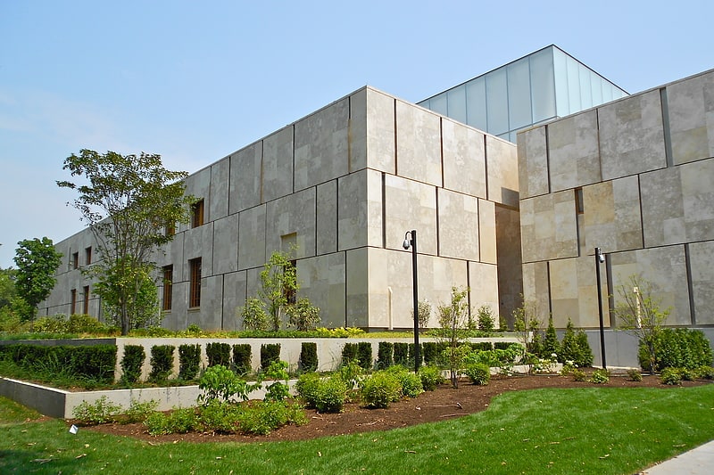
Nearby attractions include: Walnut Street, Barnes Foundation, Mütter Museum, Liberty Place.


Frequently Asked Questions (FAQ)
Which popular attractions are close to Cherry Street Tavern?
Nearby attractions include Science Leadership Academy, Philadelphia (3 min walk), Board of Education Building, Philadelphia (4 min walk), The Ideal Scout, Philadelphia (4 min walk), Saint Clement's Church, Philadelphia (4 min walk).
How to get to Cherry Street Tavern by public transport?
The nearest stations to Cherry Street Tavern:
Tram
Train
Bus
Metro
Tram
- 22nd Street • Lines: 10, 11, 13, 34, 36 (6 min walk)
- 19th Street • Lines: 10, 11, 13, 34, 36 (9 min walk)
Train
- Philadelphia 30th Street Station (9 min walk)
- Suburban Station (13 min walk)
Bus
- Walnut St & 23rd St • Lines: 12, 9 (11 min walk)
- Bolt Bus (11 min walk)
Metro
- 30th Street • Lines: Mfl (12 min walk)
- 15th Street • Lines: Mfl (16 min walk)