East Gloucester Square Historic District, Gloucester

Facts and practical information
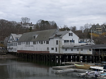
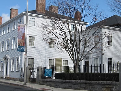
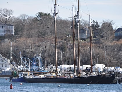
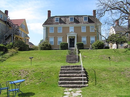
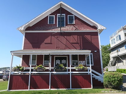
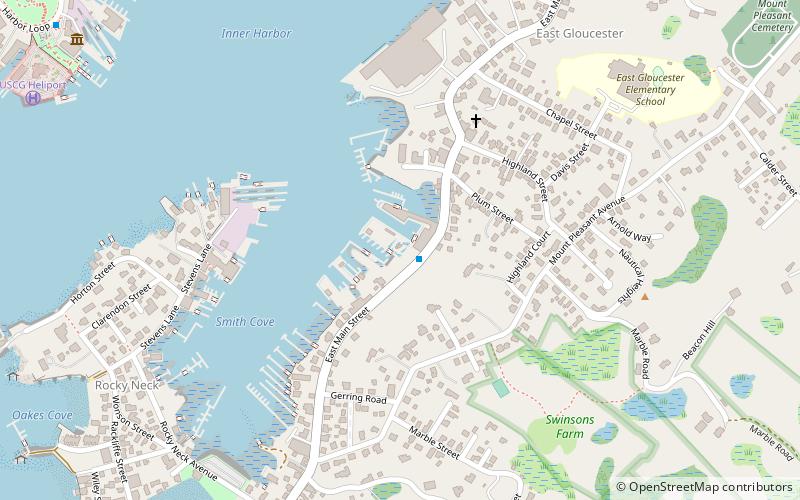
East Gloucester Square Historic District is a historic district encapsulating the evolutionary history of the active maritime community of Gloucester, Massachusetts, over a period of more than 200 years. East Gloucester is located on the south side of Gloucester's Inner Harbor, opposite the city's main downtown area. The district is essentially linear in character extending along East Main Street between Rocky Neck Avenue and Montgomery Place, with a southward extension along Highland, Chapel, and Plum Streets to Mount Pleasant Avenue. East Main Street was formally laid out in 1704 to East Gloucester Square, and provides access to numerous waterfront facilities, including stone wharves and 19th century ship building and repair facilities. Housing is set on the roads leading up the hill from East Gloucester Square, and is generally densely set Greek Revival or Italianate in style, reflecting the dominant period of the area's development, the mid-to-late 19th century. Higher style residences were placed on larger lots on Mount Pleasant Avenue. ()
Gloucester (East Gloucester)Gloucester
East Gloucester Square Historic District – popular in the area (distance from the attraction)
Nearby attractions include: Good Harbor Beach, Cape Ann Whale Watch, Gloucester Fisherman's Memorial, Ten Pound Island Light.
Frequently Asked Questions (FAQ)
Which popular attractions are close to East Gloucester Square Historic District?
How to get to East Gloucester Square Historic District by public transport?
Train
- Gloucester (26 min walk)
