El Pueblo, Wichita
Map
Facts and practical information
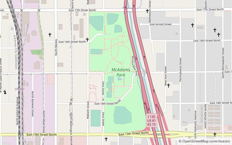
El Pueblo is a neighborhood in Wichita, Kansas, United States. A mixed commercial and residential area on the east bank of the Little Arkansas River, it is the cultural and historical center of the city’s Hispanic community. ()
Coordinates: 37°43'51"N, 97°20'56"W
Address
El PuebloWichita
ContactAdd
Social media
Add
Day trips
El Pueblo – popular in the area (distance from the attraction)
Nearby attractions include: Botanica, Old Cowtown Museum, Wichita Art Museum, Sedgwick County Memorial Hall and Soldiers and Sailors Monument.
