Biscayne Beach, Miami
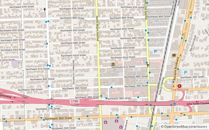
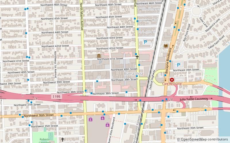
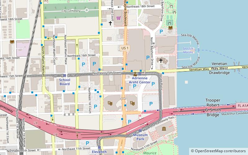
Map
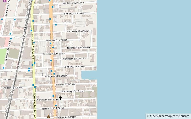
Map

Facts and practical information
Biscayne Beach is a residential high-rise in the Edgewater neighborhood of Miami, Florida, U.S.A. The building rises to 550 feet with 52 floors. In 2021 a combined Penthouse unit totaling over 20000 ft² was sold, considered the largest condo sale by square footage in the county. ()
Coordinates: 25°48'18"N, 80°11'8"W
Address
Midtown Miami (Edgewater)Miami
ContactAdd
Social media
Add
Day trips
Biscayne Beach – popular in the area (distance from the attraction)
Nearby attractions include: Omni, Adrienne Arsht Center for the Performing Arts, Miami City Cemetery, Locust Projects.
Frequently Asked Questions (FAQ)
Which popular attractions are close to Biscayne Beach?
Nearby attractions include Paraíso Bay, Miami (3 min walk), Icon Bay, Miami (4 min walk), Blue on the Bay, Miami (12 min walk), Omni, Miami (13 min walk).
How to get to Biscayne Beach by public transport?
The nearest stations to Biscayne Beach:
Bus
Train
Bus
- Biscayne Boulevard & Northeast 28th Street • Lines: 16, 3, 93 (7 min walk)
- Biscayne Boulevard & Northeast 30th Street • Lines: 16, 3 (7 min walk)
Train
- Adrienne Arsht Center (28 min walk)
- School Board (30 min walk)


