McKenna Park, Portland
Map

Map

Facts and practical information
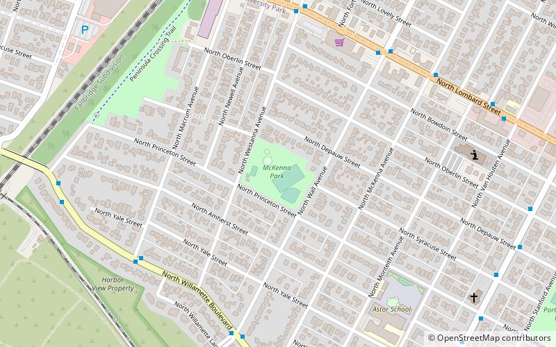
McKenna Park is a 4.52-acre public park in the University Park neighborhood of Portland, Oregon, in the United States. The park was acquired in 1940. ()
Elevation: 148 ft a.s.l.Coordinates: 45°34'55"N, 122°43'59"W
Day trips
McKenna Park – popular in the area (distance from the attraction)
Nearby attractions include: Burlington Northern Railroad Bridge 5.1, Chapel of Christ the Teacher, St. Johns Park, National Cash Register Building.
Frequently Asked Questions (FAQ)
Which popular attractions are close to McKenna Park?
Nearby attractions include University Park, Portland (9 min walk), Broken Wall Memorial, Portland (20 min walk), Portsmouth, Portland (21 min walk), Chapel of Christ the Teacher, Portland (21 min walk).
How to get to McKenna Park by public transport?
The nearest stations to McKenna Park:
Bus
Bus
- North Lombard & Wall • Lines: 75 (7 min walk)
- North Willamette & Macrum • Lines: 44 (7 min walk)


