Wallingford Center Historic District, Wallingford
Map

Map

Facts and practical information
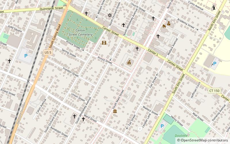
The Wallingford Center Historic District encompasses the historic 18th and 19th-century town center of Wallingford, Connecticut. Extending mainly along North and South Main Streets, the district includes high-quality residential, civic, commercial, and institutional architecture from the mid-18th to early 20th centuries, reflecting the community's growth. The district was listed on the National Register of Historic Places in 1993. ()
Coordinates: 41°27'11"N, 72°49'14"W
Address
Wallingford CenterWallingford
ContactAdd
Social media
Add
Day trips
Wallingford Center Historic District – popular in the area (distance from the attraction)
Nearby attractions include: Center Street Cemetery, Paul Mellon Arts Center, Wallingford Dog Park, Franklin Johnson House.
Frequently Asked Questions (FAQ)
Which popular attractions are close to Wallingford Center Historic District?
Nearby attractions include Franklin Johnson House, Wallingford (3 min walk), Center Street Cemetery, Wallingford (8 min walk), St. Stanislaus Parish, Wallingford (10 min walk), Wallingford Public Library, Wallingford (13 min walk).
How to get to Wallingford Center Historic District by public transport?
The nearest stations to Wallingford Center Historic District:
Train
Train
- Wallingford (16 min walk)


