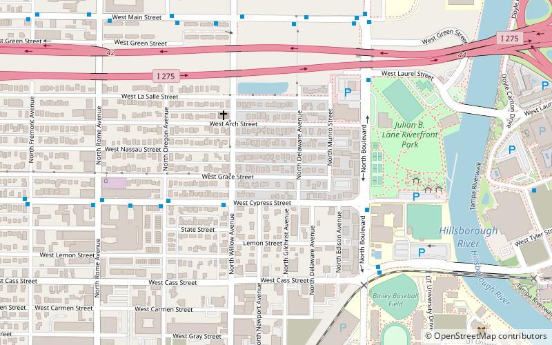
West Riverfront, Tampa
Map
Facts and practical information
West Riverfront is a neighborhood within the city limits of Tampa, Florida. As of the 2000 census the neighborhood had a population of 1,345. The ZIP Codes serving the neighborhood are 33606 and 33607. ()
Coordinates: 27°57'10"N, 82°28'16"W
Address
Northwest Tampa (West Riverfront)Tampa
ContactAdd
Social media
Add
Getting there by public transportation
Public transportation stops near this location
- Bus
- Tram
 Bus
Bus
- Calculate routeNorth Boulevard @ Cypress Street 5 min walk
- Calculate routeCass Street @ North Boulevard 7 min walk
- Calculate routeDowntown Tampa 27 min walk
- Calculate routeDick Greco Plaza 33 min walk
- Calculate routeHsbc 36 min walk
Day trips


Frequently Asked Questions (FAQ)
Which popular attractions are close to West Riverfront?
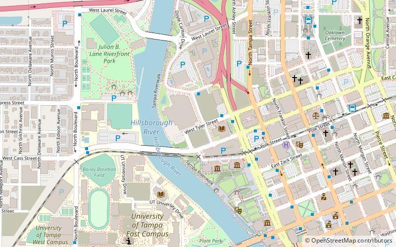
Nearby attractions include North Hyde Park, Tampa (12 min walk), Straz Center for the Performing Arts, Tampa (12 min walk), University of Tampa, Tampa (12 min walk), Macdonald–Kelce Library, Tampa (13 min walk).
How to get to West Riverfront by public transport?
The nearest stations to West Riverfront:
Bus
Tram
Bus
- North Boulevard @ Cypress Street • Lines: 7 (5 min walk)
- Cass Street @ North Boulevard • Lines: 7 (7 min walk)
Tram
- Downtown Tampa • Lines: Teco (27 min walk)
- Dick Greco Plaza • Lines: Teco (33 min walk)