Phoenix Hill, Louisville
Map
Gallery

Facts and practical information
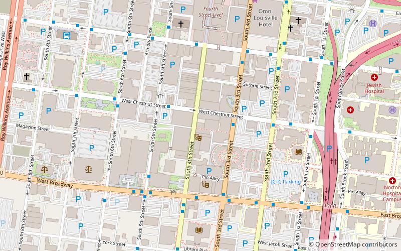
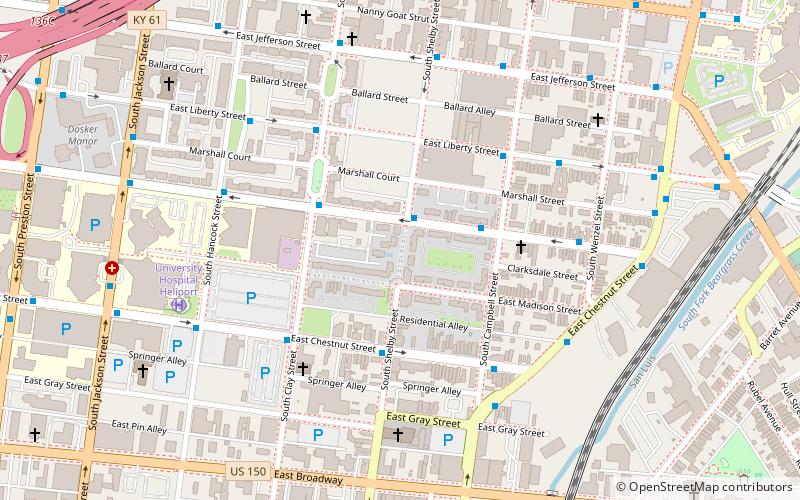
Phoenix Hill is a neighborhood of Louisville, Kentucky just east of Downtown. Its boundaries are Market Street to the North, Preston Street to the West, Broadway to the South, and Baxter Avenue to the East. The Phoenix Hill neighborhood, settled before 1850 by German immigrants, is now a rich tapestry of people and a diverse mix of business, industry and residences. ()
Coordinates: 38°14'55"N, 85°44'20"W
Address
The Highlands (Phoenix Hill)Louisville
ContactAdd
Social media
Add
Day trips
Phoenix Hill – popular in the area (distance from the attraction)
Nearby attractions include: Louisville Slugger Field, Fourth Street Live!, Kentucky International Convention Center, KFC Yum! Center.
Frequently Asked Questions (FAQ)
Which popular attractions are close to Phoenix Hill?
Nearby attractions include East Market District, Louisville (8 min walk), St. Boniface's Catholic Church, Louisville (9 min walk), Paul Paletti Gallery, Louisville (9 min walk), St. John United Church of Christ, Louisville (10 min walk).
How to get to Phoenix Hill by public transport?
The nearest stations to Phoenix Hill:
Bus
Bus
- Market / Shelby • Lines: 15East Bickel, 15East Chenoweth&VA, 15East LaGrange, 15East LimeKiln, 15East LimeKiln&VA, 15West Bickel, 15West Chenoweth&VA, 15West LaGrange, 15West LimeKiln, 15West LimeKiln&VA, 77East (9 min walk)
- Market / Clay • Lines: 15West Bickel, 15West Chenoweth&VA, 15West LaGrange, 15West LimeKiln, 15West LimeKiln&VA (9 min walk)


