Beverley Squares, Sea Gate
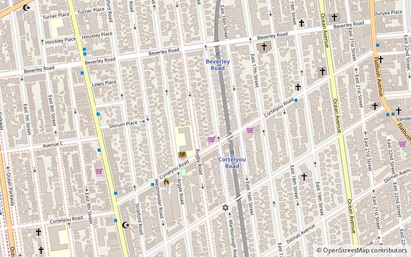
Map

Gallery

Facts and practical information
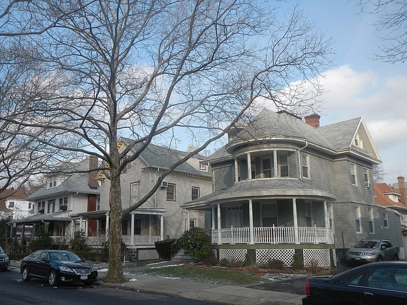
Beverley Square East and Beverley Square West, also spelled Beverly Square, are a pair of neighborhoods in the Flatbush section of the New York City borough of Brooklyn. Located southwest of Prospect Park within what is now called Victorian Flatbush, one of the largest concentrations of Victorian houses in the United States, they were developed in the 1900s primarily by Thomas Benton Ackerson, whose former home is in Beverley Square West. ()
Coordinates: 40°38'30"N, 73°57'54"W
Address
Central Brooklyn (Flatbush)Sea Gate
ContactAdd
Social media
Add
Day trips
Beverley Squares – popular in the area (distance from the attraction)
Nearby attractions include: Flatbush Malls, Concert Grove, Temple Beth El of Borough Park, Nostrand Playground.
Frequently Asked Questions (FAQ)
Which popular attractions are close to Beverley Squares?
Nearby attractions include Victorian Flatbush, Sea Gate (7 min walk), East River State Park, New York City (7 min walk), Ditmas Park, New York City (8 min walk), Prospect Park South, New York City (9 min walk).
How to get to Beverley Squares by public transport?
The nearest stations to Beverley Squares:
Metro
Metro
- Cortelyou Road • Lines: Q (2 min walk)
- Beverley Road • Lines: Q (5 min walk)


